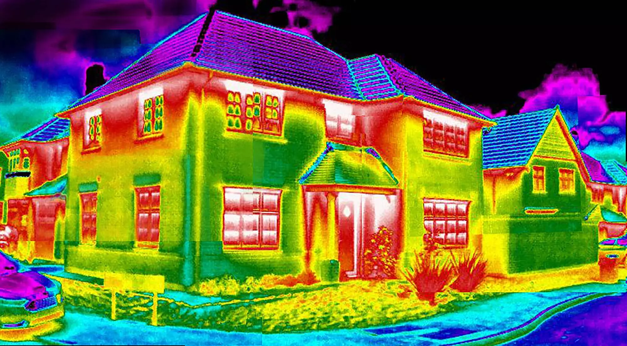
Identify Heat Loss, Water Ingress and Thermal Bridging
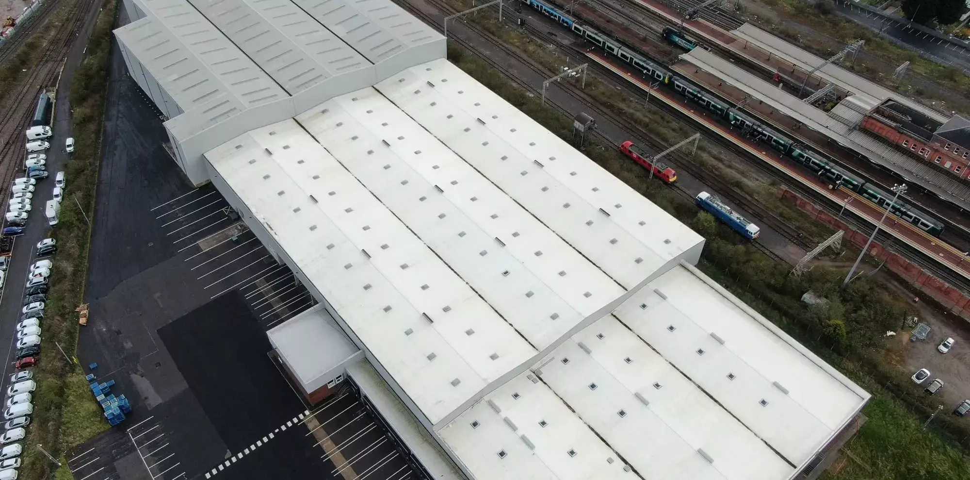
Thermal Surveys
READ MORE ABOUT THERMAL SURVEYS


Thermal Surveys
READ MORE ABOUT THERMAL SURVEYS