Drone Site Surveys regularly carries out mapping projects across the UK. We have a variety of drones enabling us to undertake projects of any size.
Find out More Here
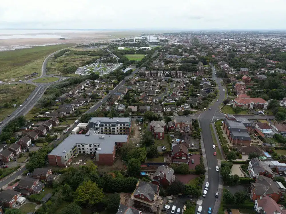
Aerial Mapping using Drones
Depending on the requirements for your mapping project, we have drones that can complete the task. From accuracy required, area to map and how you want the map / data delivered we can advise on the best system to use.
There are so many options and qualities of deliverables for mapping, starting with Photogrammetry or Lidar. Photogrammetry is the science of taking multiple 2D images, and after running through specialist software converting the imagery into 3D. Lidar is a laser scanning technology that creates a point cloud which can be geo-referenced.
There are pros and cons to both systems, and both have their place in the surveying arena.
Are you in need of proficient and reliable drone services to improve your business operations? Drone Site Surveys is your go-to destination! Our team of seasoned professionals can provide you with an extensive range of commercial drone pilots and services tailored to meet your specific needs.