


Home / Areas We Cover / Carlisle
- North West · Cumbria
Drone surveys in Carlisle: roof surveys and inspections across north Cumbria
Drone roof surveys, building inspections, thermal surveys and measured surveys across Carlisle, north Cumbria and the border.
From the city’s red sandstone buildings to farms, schools and industrial estates across north Cumbria, we survey roofs and high-level details without scaffolding. We handle the airspace permissions, fly the site and deliver everything to your online portal.
- CAA Authorised Operator
- Constructionline Gold
- SafeContractor
- SSIP
- £10m Public & Employers Liability
- £1m Professional Indemnity
- ARPAS-UK Member
- BINDT
- NEBOSH
Drone surveys across Carlisle and north Cumbria
The city, the surrounding towns and the rural sites in between.
Carlisle has a lot of red sandstone: the cathedral, the castle, and Victorian terraces and civic buildings across the city. Sandstone weathers, and the roofs, parapets and chimneys above it are hard to see from the ground. A drone gets close-up imagery of all of it without scaffolding.
The city has also seen serious flooding and storm damage, most recently with Storm Desmond in 2015. Dated drone imagery gives owners, landlords and insurers a clear record of a roof’s condition before and after bad weather. Beyond the city we survey farms, schools, industrial units and housing across north Cumbria.
- Carlisle city centreCathedral quarter, civic and commercial buildings
- Stanwix & HoughtonHousing north of the river
- Harraby & BotcherbyHousing estates and schools
- KingmoorIndustrial and distribution sites
- DalstonVillage and rural properties
- BramptonMarket town and farms
- LongtownTown and border farms
- WigtonMarket town and industry
- SillothCoastal town and holiday parks
- GretnaJust over the border into Scotland
Rural or remote site? We regularly survey farms, estates and isolated buildings across Cumbria. Send us the postcode or a map pin and we’ll check access and airspace before we quote.
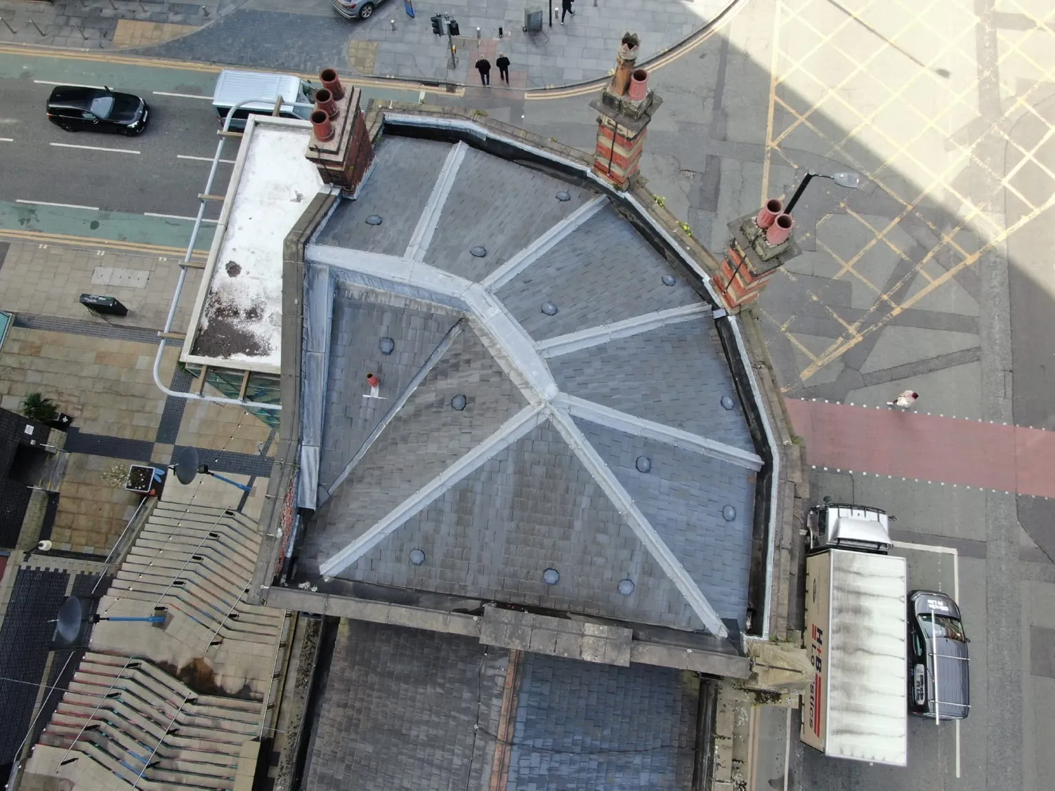
What we survey in Carlisle
Every service we offer is available in Carlisle. These are the ones Carlisle clients book most.
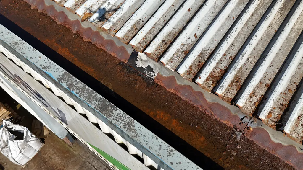
Roof surveys
Close-up imagery of every slope, valley, flashing and gutter on pitched and flat roofs, with an optional written condition report.
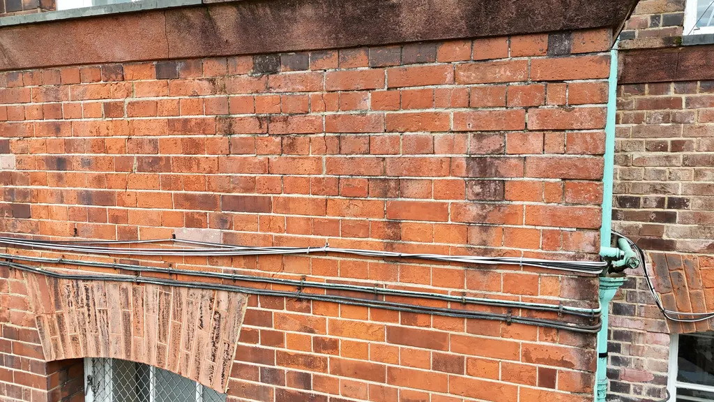
Drone inspections
Close inspections of roofs, chimneys, towers and structures, focused on the areas that matter to you.
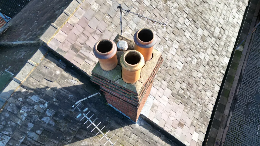
Chimney surveys
Close-up drone imagery of chimney stacks, pots, flaunching, pointing and flashings, with no scaffolding or ladders.
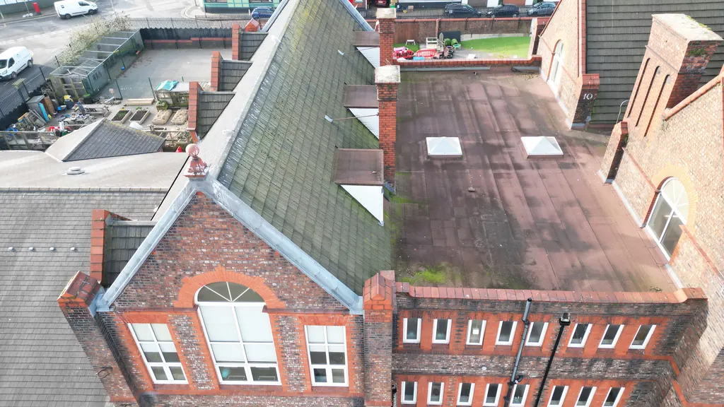
School inspections
Roof and building condition surveys for schools and colleges, with no scaffolding and visits planned around the school day.
Flying in Carlisle: the airspace we plan around
These are the restrictions we check for every Carlisle address before we quote.
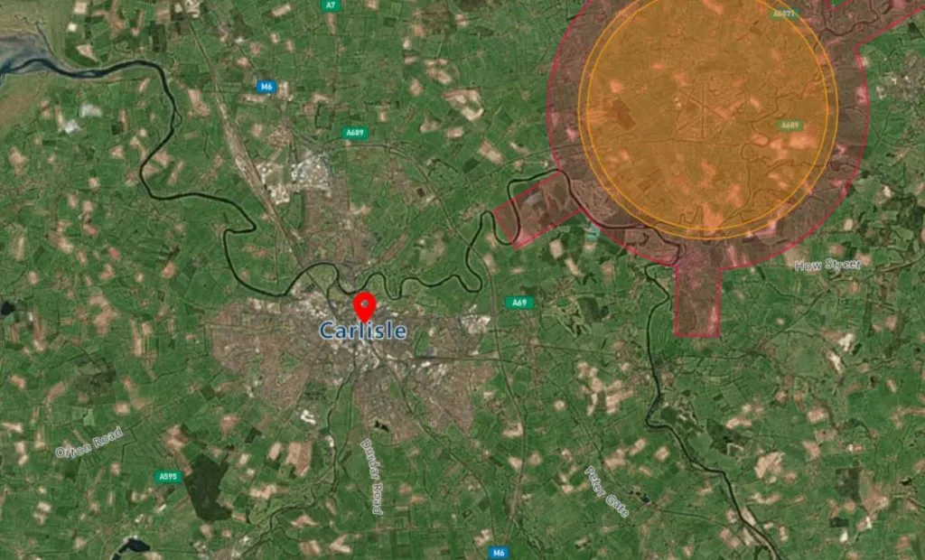
Carlisle Lake District Airport
The airport lies about 5 miles north east of the city. Its Flight Restriction Zone, including the runway protection zone, reaches towards the centre of Carlisle. Flights inside it need permission, which we arrange before the survey date.
Rail lines
Carlisle is where several major rail lines meet, including the West Coast Main Line, the Newcastle line, the Settle–Carlisle line and the Cumbrian Coast line. Network Rail has its own rules for drones near its property, on top of CAA rules.
Heritage sites
The castle, the cathedral and Hadrian’s Wall sites need the landowner’s permission for take-off and landing. We arrange this as part of planning the survey.
Weather and remote sites
Rural and upland sites can be exposed to strong winds. We plan around the forecast and rebook if conditions aren’t safe.
Restricted doesn’t mean impossible
Restricted zones need more planning and the right permissions. They don’t stop a survey going ahead. Our pilots and office team work together to get approval for even the trickiest Carlisle sites.
- Airspace checked for every address before we quote
- Permissions requested on your behalf
- Risk assessment and method statement (RAMS) for every job
- Weather planned in, including thermal survey conditions
From address to results in four steps
Tell us where the site is and what you need, using the quote form or by phone.
Free desk-based check of airspace, access and the best capture method. Fixed quote usually the same working day.
Air traffic control, landowner and site permissions arranged, plus RAMS for your site team.
Survey carried out on the agreed date. Images in your secure portal within 48 hours, reports to follow.
Mapping and surveyor support
As well as imagery and reports, we produce maps, 3D models, point clouds and internal and external scans, so surveyors can measure and report on Carlisle assets with fewer site visits.
Other areas near Carlisle
We also have local pages for these nearby towns and cities. Distances are approximate, by road from Carlisle.
Do you cover north Cumbria and the border?
Yes. As well as Carlisle, we survey Brampton, Longtown, Wigton, Silloth, Dalston and rural sites across north Cumbria, and over the border into Dumfries and Galloway. Send us the address and we’ll confirm.
Is my site too close to Carlisle Lake District Airport?
Probably not. Sites inside the airport’s Flight Restriction Zone need permission, which we request for you. We check every address before we quote, so you’ll know about any restrictions up front.
Can you survey roofs after storm or flood damage?
Yes. A drone survey is a quick, safe way to record damage without anyone going on the roof. You get dated, high-resolution images that you can share with insurers, loss adjusters or contractors.
How quickly can you get to a site in Carlisle?
We have strategically located pilots based near Carlisle, so we can usually get to your site quickly. Timing depends on the permissions your site needs and the weather. We’ll give you a date when we send your quote.
How much does a drone roof survey in Carlisle cost?
Our drone roof inspections start from £250 + VAT for domestic properties and £350 + VAT for commercial properties, the same as anywhere else we cover. Larger sites and portfolios are quoted individually. See our drone survey prices.
Do I need to be on site for the survey?
Not usually. For most surveys we only need permission to access the area we fly from.
Get your fixed-fee quote
Send us the Carlisle address or postcode. We’ll do the rest.
Tell us where the property is and what you need. We’ll carry out a free desk-based assessment covering airspace, access and site constraints, then send a fixed-fee quote, usually the same working day.
Send your postcode and requirements using the form
We assess your site remotely: airspace checks, access and the right capture method
You receive a fixed quote with no hidden extras
We book in, fly, capture and deliver to your secure online portal
Constructionline Gold · CAA Authorised · SafeContractor · £10m Public & Employers Liability · Cyber Essentials · NEBOSH · BINDT. Trusted by chartered surveyors, housing associations, retrofit specialists, private clients, NHS trusts and UK local authorities.
Get a Quote
The quote form is taking a while to load. Open the simple form, call 0345 017 5592 or email info@dronesitesurveys.co.uk.