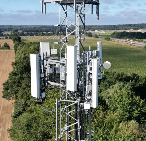
UK mobile network operators face a demanding infrastructure programme. The expansion of 5G Standalone, rising data use, completed 3G switch-offs and ongoing equipment upgrades are placing greater pressure on mast…

UK mobile network operators face a demanding infrastructure programme. The expansion of 5G Standalone, rising data use, completed 3G switch-offs and ongoing equipment upgrades are placing greater pressure on mast…
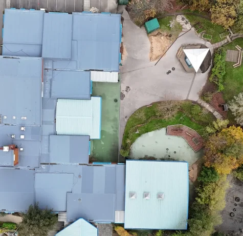
In senior living, retirement housing, and supported accommodation, it is essential to plan building inspections around both the residents and the property. Drone surveys can help housing and asset teams…
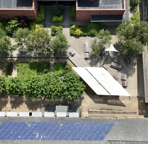
Green infrastructure is not just about planting, biodiversity, or attractive outdoor spaces. On housing estates, commercial sites and public buildings, it also plays a practical role in asset resilience. Trees,…
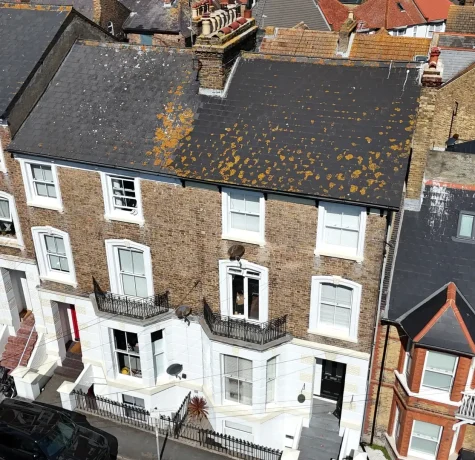
Local authorities housing teams are under growing pressure to maintain safer, warmer, and better-quality homes while working with limited budgets. Repairs, planned maintenance, disrepair claims, and regeneration programmes all need…
A thorough safer inspection process should help improve homes without making life harder for the people living in them. For housing providers, resident engagement teams, and asset managers, this process…

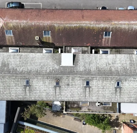
When deciding between drone surveys, scaffolding, cherry picker access, and rope access, price should not be the sole factor. Procurement, finance, asset management, and health and safety teams need to…