Accurate floor plans, elevations and sections for planning, refurbishment and design, captured using LiDAR, drone photogrammetry and survey control.
Get a Quote Today
Measured Building Surveys
Drone Site Surveys provides accurate measured building surveys across the UK, delivering floor plans, elevations and cross-sections for planning, refurbishment, design and property management.
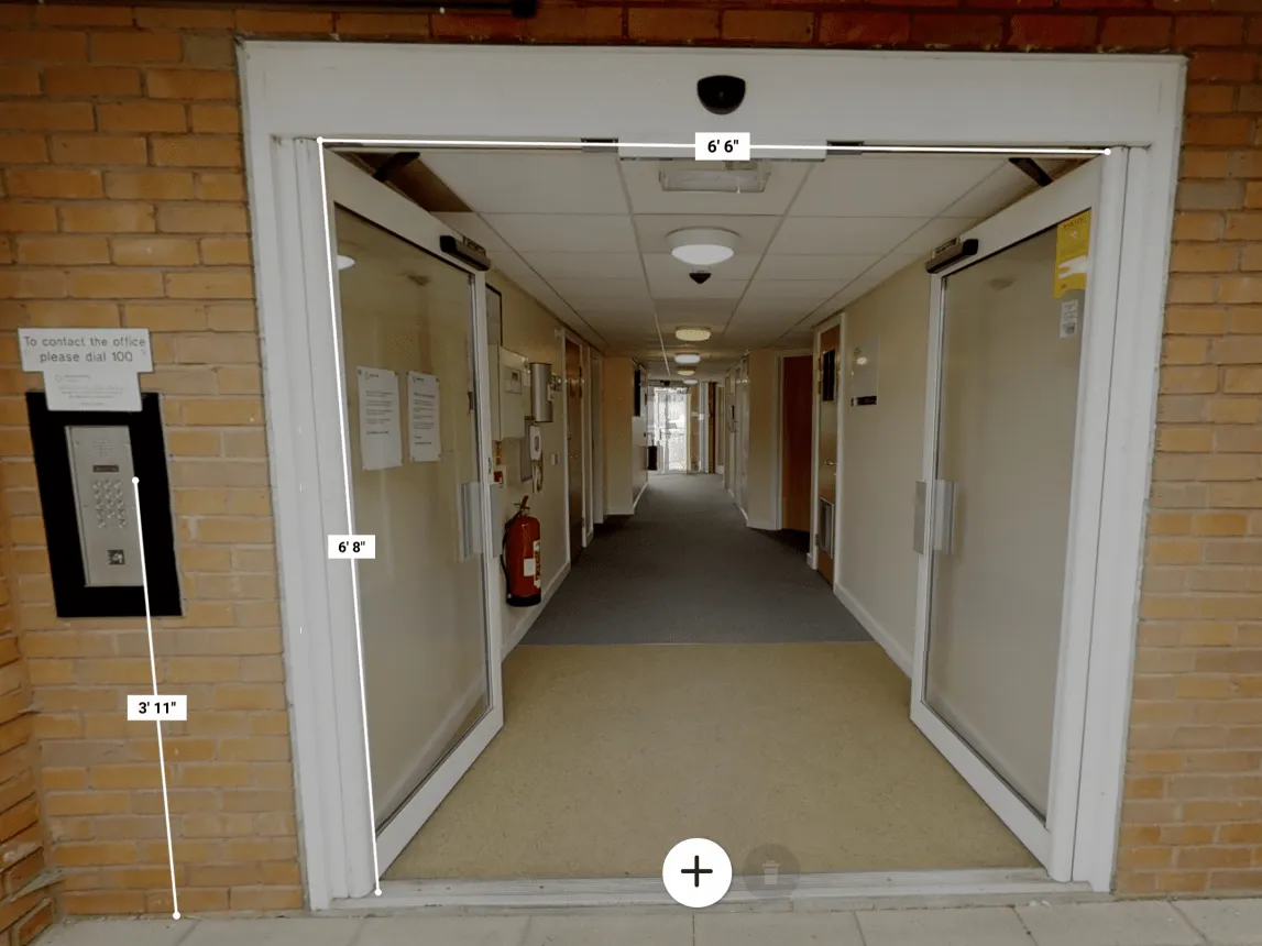
Using 3D LiDAR scanning, drone photogrammetry and survey control, we collect detailed building data and convert it into practical digital outputs.
Depending on the project, these can include roof plans, point clouds, AutoCAD drawings, Revit models and BIM-ready information.
By combining aerial and ground-based surveying methods, we can record internal spaces, external façades and difficult-to-access roof areas within one coordinated survey.
For guidance on survey accuracy and level of detail requirements, refer to the RICS Measured Surveys of Land, Buildings and Utilities guidance.
A measured building survey creates an accurate record of a property as it exists at the time of the survey.
Dimensions, layouts, levels and key building features are recorded to give architects, engineers, surveyors, contractors and property teams reliable information to work from.
This can reduce the risk of planning, design or construction work using outdated, incomplete or inaccurate drawings.
The information captured and level of detail can be tailored to suit each project’s requirements.
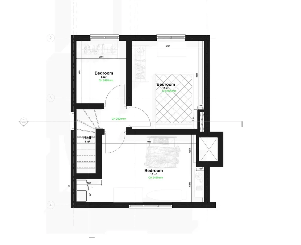
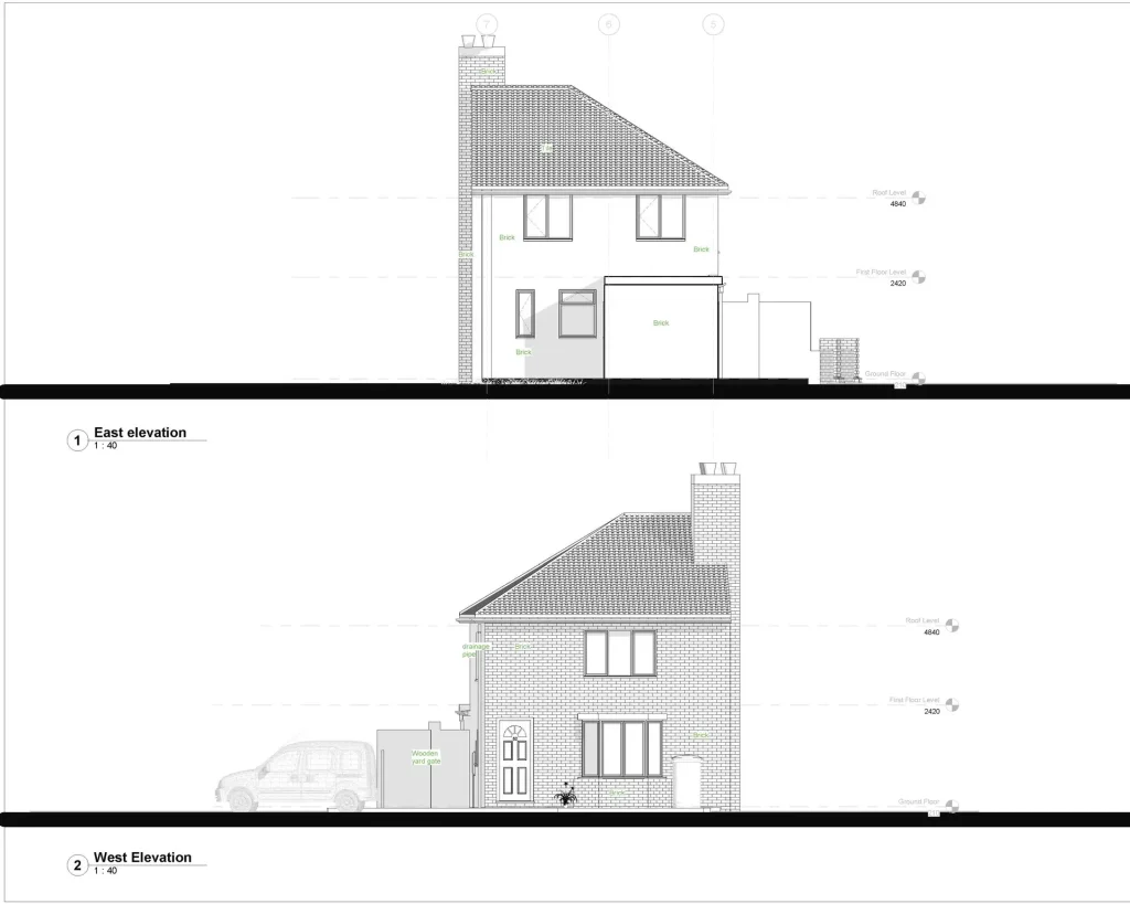
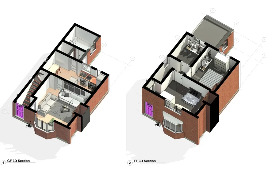
Floor Plans, Elevations, Sections and CAD Drawings
Measured building data can be used to produce a range of drawings and digital deliverables, including:
Measured floor plans
External elevations
Cross-sections
Roof plans
As-built drawings
Registered point clouds
3D building models
Revit models
BIM-ready information
The required deliverables are agreed upon before capture, so the survey collects the information needed for its intended use.
Provides accurate plans, elevations and dimensions so architects can design extensions or alterations around the existing building with reliable information.
Refurbishment and Retrofit
Records the existing layouts, levels, openings, and building geometry to facilitate planning refurbishment or retrofit work around the property’s current condition.
Revit and BIM Projects
Provides accurate survey data for point clouds, Revit models and BIM workflows, helping design teams work from a coordinated existing-building record.
Asset and Property Management
Creates or updates accurate building records where existing drawings are missing or outdated, supporting maintenance, space planning and future property decisions.
Higher-Risk Buildings and the Golden Thread
For higher-risk buildings, measured survey data can help maintain accurate property records and support refurbishment, design changes and future building works.
Up-to-date plans, elevations and other building information can form part of the wider golden thread of information.
A measured survey can support this record but does not, by itself, demonstrate compliance with the Building Safety Act.
Commercial Building and Property Surveys
Measured building surveys can be completed for individual commercial properties or coordinated across larger property portfolios.
For offices, industrial buildings, retail properties, residential blocks and public-sector estates, surveys can be planned around access restrictions, occupied areas and the information required by the wider project team.
Where several buildings are being surveyed, agreed drawing standards and digital outputs can be applied consistently across the portfolio.
Survey Accuracy and Control
The required survey accuracy depends on how the information will be used.
Where appropriate, survey control and ground control points can be used to position captured data accurately and maintain consistency across the building or wider site.
Accuracy requirements, coordinate systems and required outputs can be agreed before data capture, allowing the survey methodology to be planned around the project.
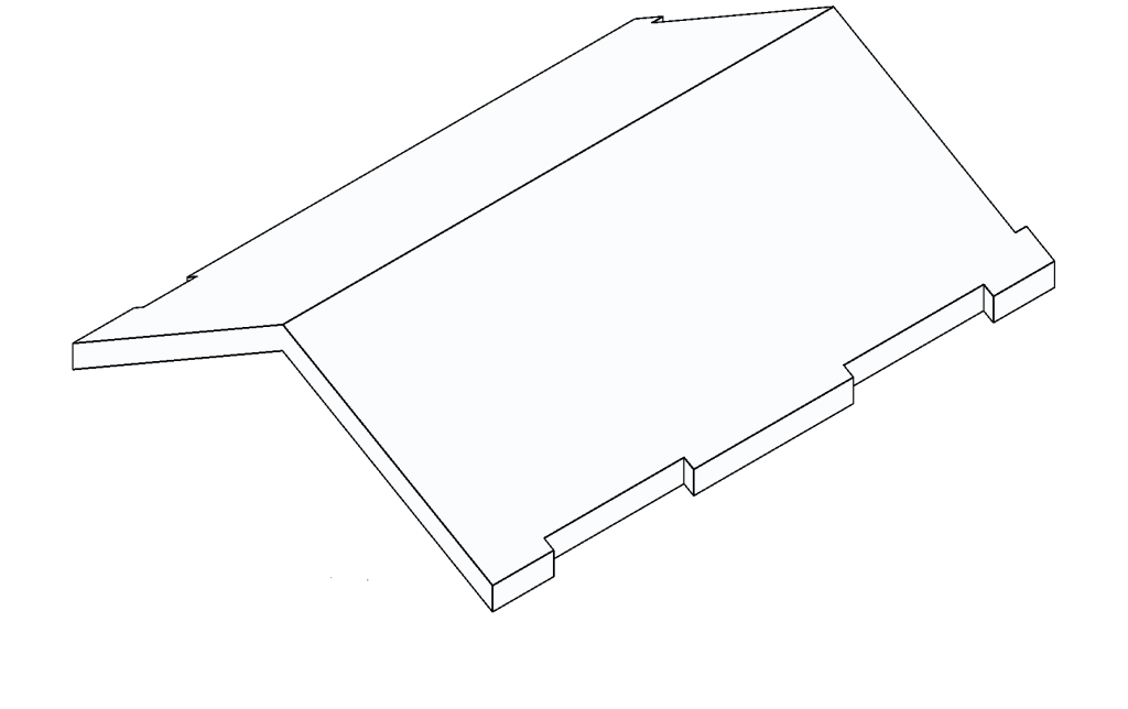
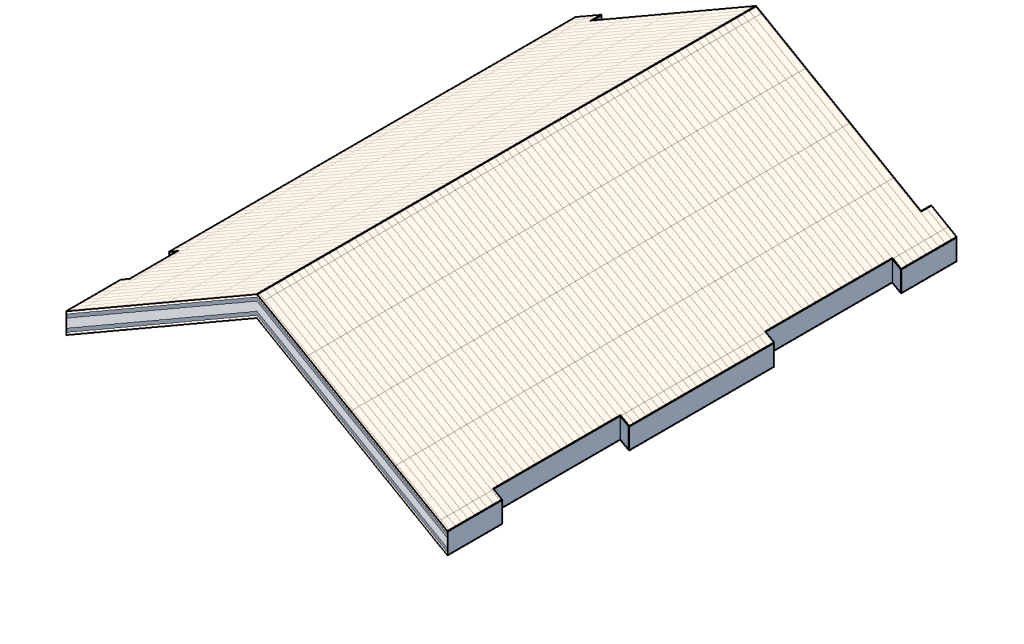
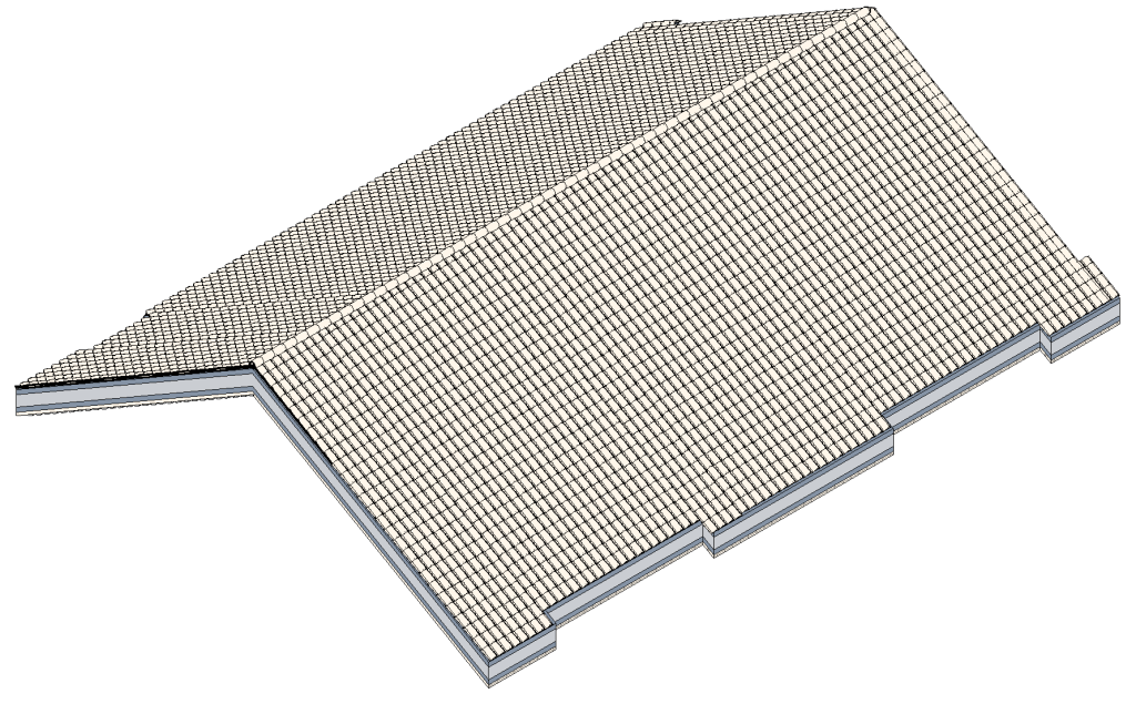
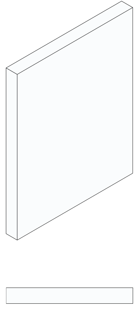
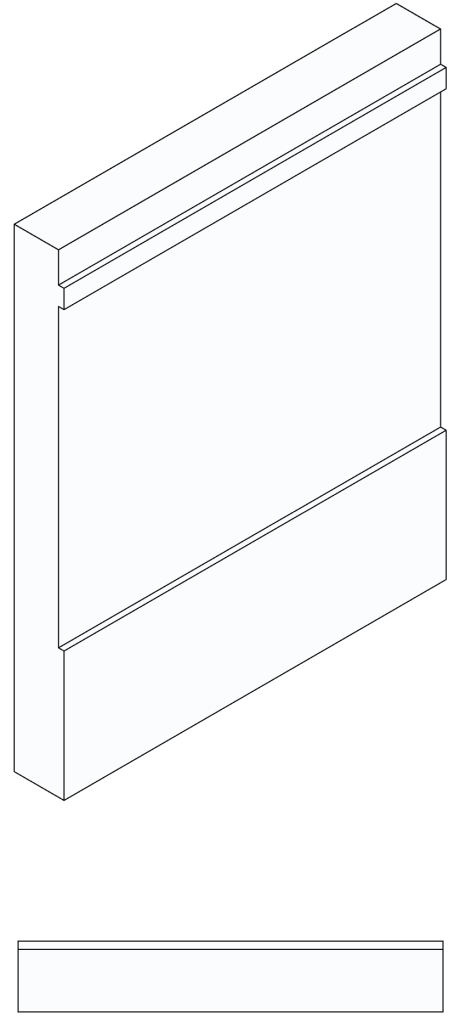
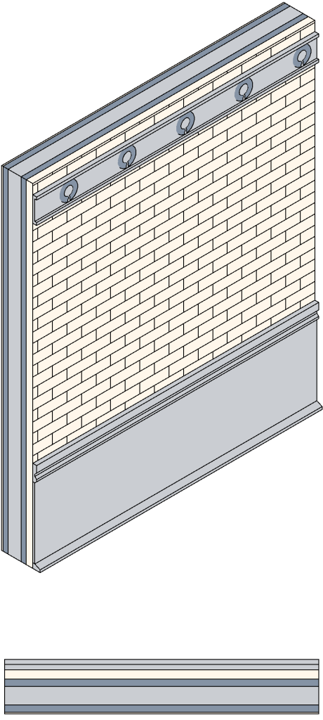
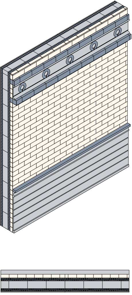
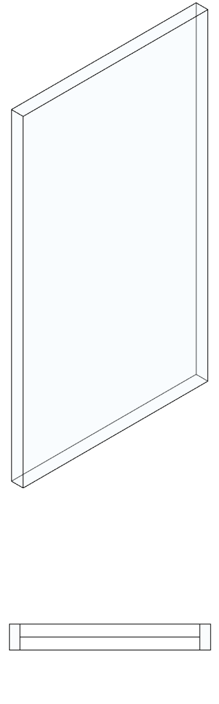
The level of detail required for a measured building survey depends on how the drawings or model will be used. Not every project needs every visible feature to be captured and modelled.
Lower levels of detail may be suitable for feasibility studies, space planning or general building records, while planning, refurbishment, BIM coordination or detailed design projects may require more building features to be represented.
Choosing the appropriate LOD can reduce unnecessary survey and modelling costs, improve turnaround times and prevent CAD or Revit files from becoming more complex than the project requires.
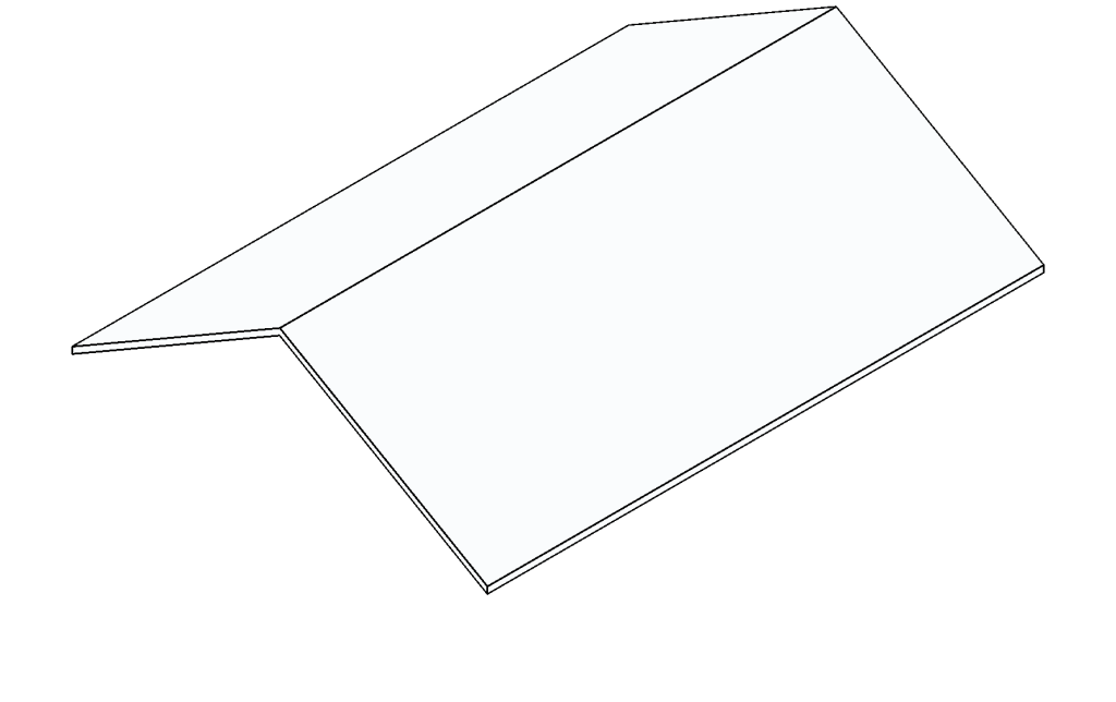
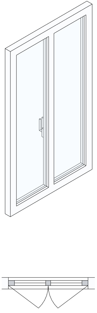
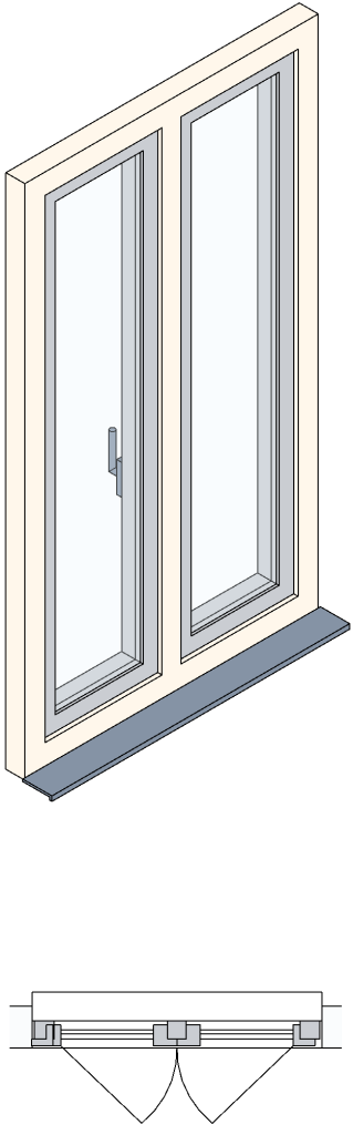
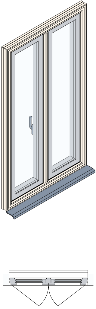
The examples below illustrate the representation of roofs, walls, and windows from LOD 100 to LOD 400.
A measured building survey should be planned around how the information will ultimately be used. We work with clients before attending site to agree on the required accuracy, level of detail and final outputs, helping avoid unnecessary survey work or over-detailed modelling.
By combining LiDAR, drone capture and digital processing within one coordinated workflow, we can record internal spaces, external elevations and difficult-to-access roof areas without clients needing to appoint separate providers.
For multi-site projects, the same survey methodology, drawing standards and output requirements can be applied consistently across a wider property portfolio.
Our UK-wide teams can also manage drone permissions, survey control, data capture, processing and secure digital delivery as part of the project.
How Much Does a Measured Building Survey Cost?
The cost depends on the size and complexity of the building, number of floors, accessibility, areas to be surveyed and the required outputs.
Projects can range from on-site data capture or point cloud delivery through to complete packages containing floor plans, elevations, sections, CAD drawings or Revit models.
Send us the property address, approximate building size, any existing plans and the outputs you require. We can then recommend an appropriate survey method and provide a clear quotation.
Accuracy depends on the intended use of the survey. Survey control and ground control points can be used where greater accuracy is needed.
How do I know what level of detail my project requires?
The appropriate LOD depends on how the drawings or model will be used. We can recommend a suitable level to avoid unnecessary modelling, time and cost.
Can internal, external and roof survey data be combined?
Yes. We can combine LiDAR, drone data and survey control to create a coordinated record of internal areas, elevations and roof areas.
Do I need existing drawings before the survey?
No. Existing drawings can be helpful, but they are not essential. We can survey buildings where previous plans are missing, outdated or inaccurate.
Can you survey an occupied building?
Yes. Measured surveys can usually be completed in occupied buildings, with access and working arrangements planned beforehand to minimise disruption.
Do I need a measured building survey or a topographical survey?
A measured building survey records the building itself, while a topographical survey records land, levels and external site features. Some projects require both.