
In aerial surveying, professionals often compare photogrammetry with LiDAR (Light Detection and Ranging). Both methods can produce accurate and reliable data, but how do they differ for external envelope building scanning? As Chief Pilot at Drone Site Surveys, I have worked with both methods frequently. This text covers common questions, clarifies key points, and offers guidance to help you choose the best option for your project.
Understanding the Basics
Photogrammetry
Photogrammetry uses overlapping aerial images to measure and show real-world conditions. Advanced software processes allow the overlapped images to create a three-dimensional representation from the 2D imagery. The software calculates geometry among the images, giving measurements of distances, heights, and volumes.
- Reliance on Imagery: This method needs high-quality pictures, with good lighting and clear conditions being preferable.
- Accuracy with Ground Control: When ground control points and scale references are handled correctly, photogrammetry can match LiDAR in accuracy.
- Data Outputs: It produces point clouds, high-resolution orthomosaic maps, three-dimensional models, and digital surface models.
- Good Settings: It works well in areas without many visual obstructions, including sites that are straightforward to assess.
LiDAR (Light Detection and Ranging)
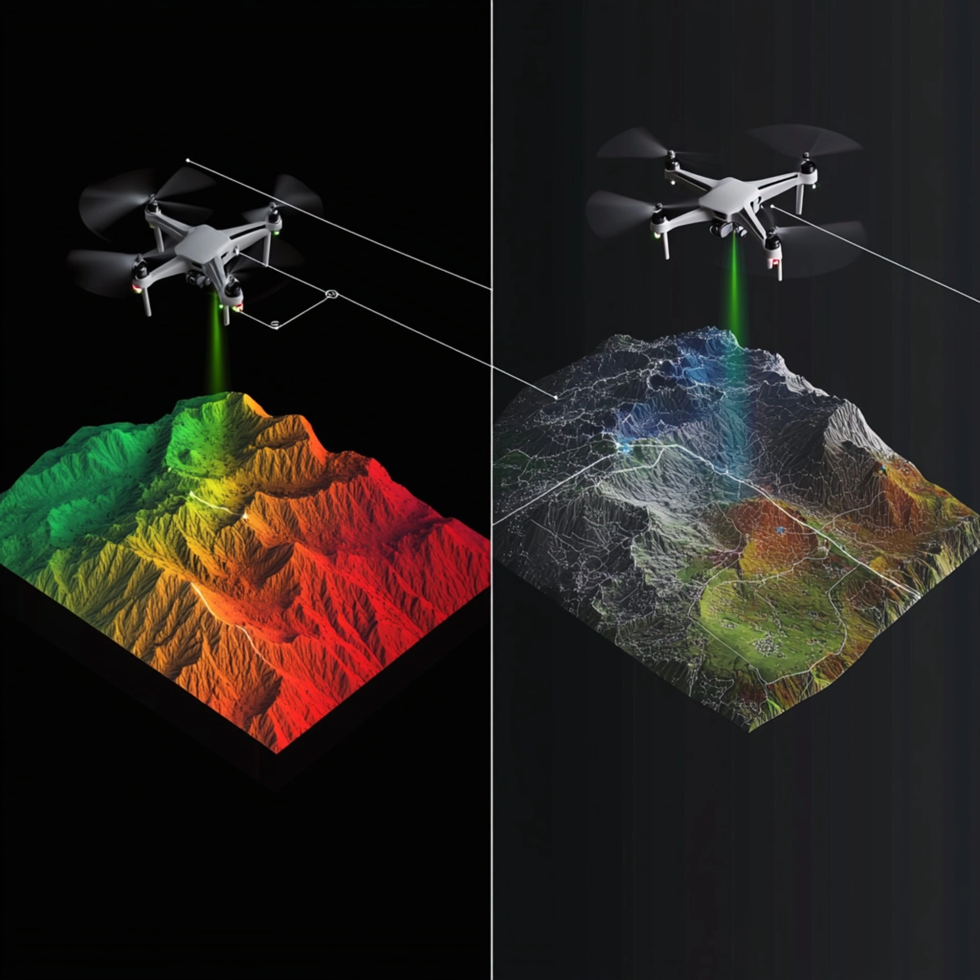
LiDAR sends laser pulses to measure the distance between the drone and the ground or structures. It records the time each pulse takes to return, creating a detailed three-dimensional model. It does not require much ambient light, so data can be gathered in lower light conditions, and multiple returns from a single pulse provide added detail when trees or other objects overlap.
- Active Sensor: It does not rely on external lighting, making it appropriate for different brightness levels.
- Foliage Penetration: Multiple returns enable data capture of ground surfaces through vegetation.
- Data Handling: Unprocessed LiDAR files can be large and need careful filtering.
- Accuracy: Modern LiDAR equipment can achieve measurements within millimetres, though results depend on sensor quality, altitude, and ground control methods such as RTK or PPK.
Accuracy, Safety, and Choosing the Right Scanning Method
Accuracy Matters
Some believe LiDAR is more precise than photogrammetry. Although LiDAR generates dense point clouds, photogrammetry can yield similar outcomes when flight planning, camera quality, and ground control are well organised. I have completed many surveys where photogrammetry has reliably reached sub-3 cm accuracy under good conditions, matching LiDAR when the site is free of obstructions.
● Ground Control Points: Correctly placed markers fix the photogrammetric model to real-world coordinates.
● Scale Constraint References: Known measurements, such as a surveyed edge of a building, keep the model dimensionally consistent.
● Sensor Performance: LiDAR relies on well-adjusted laser systems, while photogrammetry depends on steady, high-resolution cameras.
● RTK or PPK: Each method can use these positional corrections, which may reduce how many ground control points are required.
Weight, Permissions, and Safety
LiDAR equipment for drones weighs more than the equivalent camera drone, affecting equipment selection and flight regulations.
● Flying Permissions: Heavier aircraft face stricter rules in the UK.
● Restricted Zones: Operating a heavier drone in overcrowded or built-up settings can result in enhanced permissions being required.
● Safety Measures: Larger drones carry extra risks, so added steps, including special risk assessments, might be necessary.
A camera-focused drone is generally lighter and easier to operate in urban or managed areas.
Applications in Building Envelope Surveys
Photogrammetry Applications:-
● Construction and Infrastructure: Appropriate for sites such as construction zones or property boundaries.
● Environmental Work: Provides detailed orthomosaics for assessing changes in land usage, erosion, or related aspects.
● Urban Modelling: Produces realistic three-dimensional city representations when a line of sight is not heavily blocked.
LiDAR Applications:-
● Heavily Covered Sites: Helpful for scanning below tree canopies.
● Complex Structures: A good choice for narrow or complicated elements such as overhead cables and pipes.
● Ground Surface Extraction: Enables users to remove returns that are not from the ground, making it useful for terrain surveys.
Cost and Time Factors
● Upfront Costs: LiDAR sensors are more expensive because of specialised hardware and software.
● Data Size and Processing: LiDAR point clouds can be very large and need powerful software and computing capabilities. Photogrammetry also produces significant data but often works with more readily available software.
● Project Speed: Photogrammetry work can sometimes finish more rapidly, especially on smaller or less complicated locations.
● Typical Rates: At Drone Site Surveys, LiDAR projects often cost about twice as much as photogrammetry, reflecting higher equipment investment, more involved data handling, and the tighter rules for heavier aircraft.
Choosing the Right Method
This decision depends on site characteristics, vegetation, goals, and budget. In areas with clear conditions and suitable light, photogrammetry is a cost-effective option offering strong accuracy. LiDAR may be better if thick vegetation or blocked visibility complicates standard camera-based methods. Each generates high-quality results. The key is the environment and planned data usage.
Drone Site Surveys
Our team understands the distinct advantages of photogrammetry and LiDAR. Our experienced staff, including me as chief pilot, select whichever approach suits a project best. Whether you need camera-based processes or LiDAR for more demanding sites, we can provide accurate data promptly.
Why Work with Drone Site Surveys
Experienced Pilots and Staff: We have extensive knowledge of drone regulations in the UK.
- Tailored Solutions: We use modern photogrammetry and LiDAR equipment, adapting to individual site needs.
- Strong Record: We assist commercial and public sector clients, always prioritising safety and efficiency.
- Nationwide Coverage: We have one of the largest pilot networks in the region, ensuring rapid and reliable help.
- Recognised Credentials: Our accreditations include Constructionline Gold, Safecontractor, SSIP, and Cyber Essentials.
As-built BIM and CAD Services
We do more than provide raw data and orthomosaics. Drone Site Surveys can create thorough as-built materials, including
- REVIT models
- BIM outputs
- AutoCAD files
These enhance work in architecture, engineering, and construction by helping teams plan, design, and manage projects more effectively.
Get in Touch
Speak with Drone Site Surveys for suggestions or an estimate. Our specialists will support you at every stage so you receive high-quality data under safe and lawful conditions. If this information was useful, please share it. For queries about the best solution for your circumstances, contact Drone Site Surveys. We serve as a dependable partner for drone surveying in the UK.