Measured Building Survey
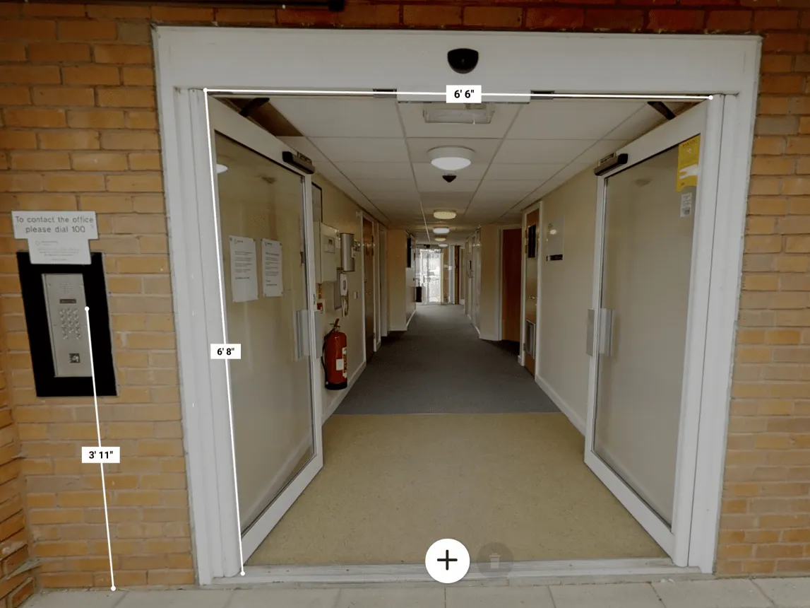
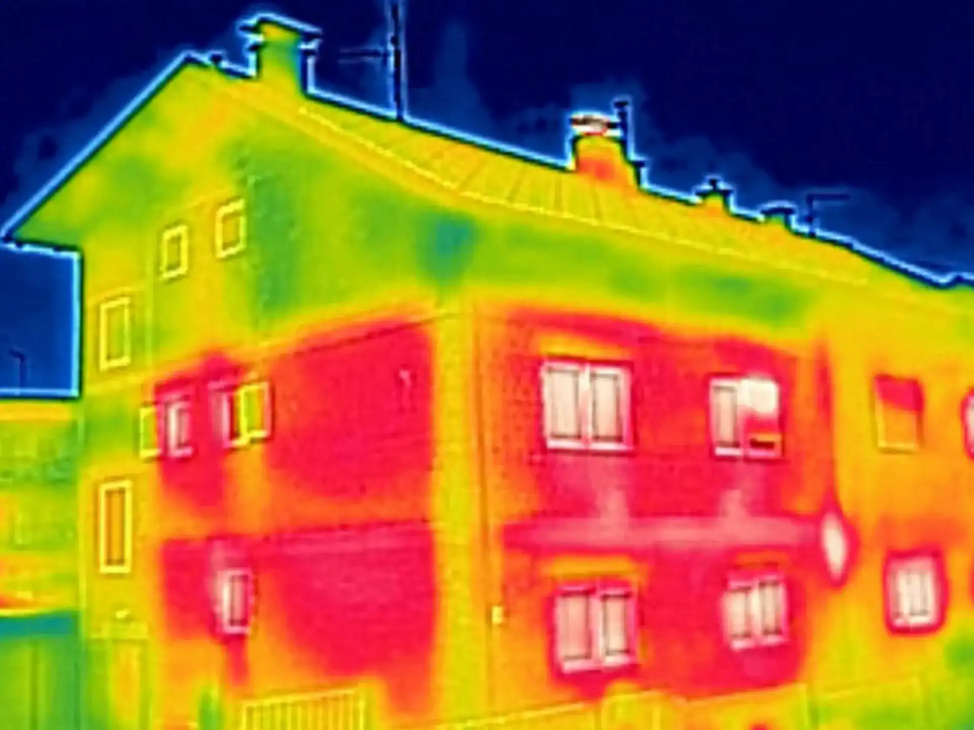
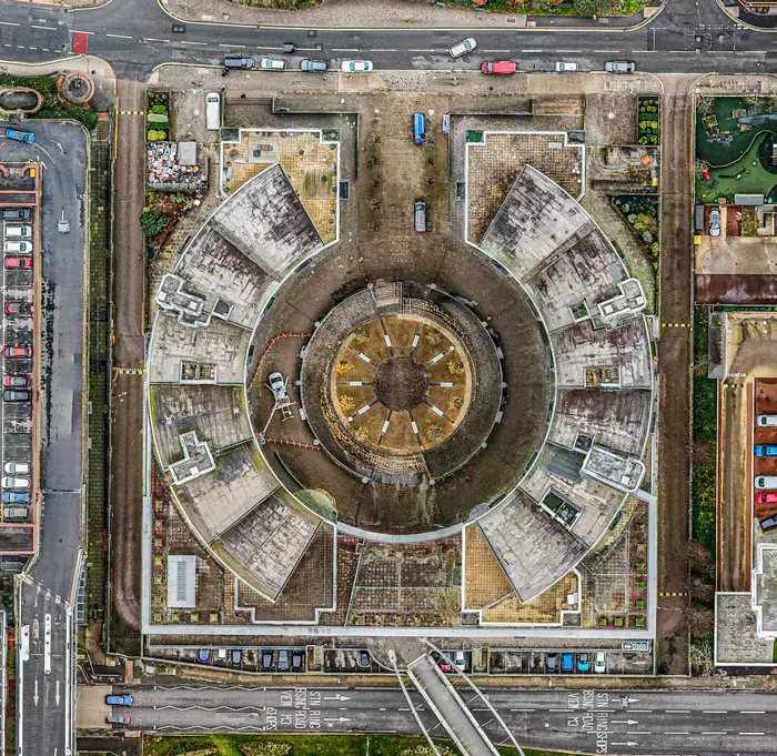
A measured building survey is a building survey drawn to scale. The files offer an “as-built” building for you to work with. This type of survey plan is available for full external envelopes including roofs using drone technology and internal modelling using LiDAR laser scanning.
A measured survey allows inspection of the building in great depth with accurate recording and multiple levels of detail (depending on yours or your clients requirements).
You should read this RICS guide to understand the accuracy and LOD required for your project. Click here to read the RICS Measured surveys of land, building and utilities guide.
Levels of Detail (LOD) Available
All measured surveys should be accurate, however, there are different levels of accuracy and ways to display the findings of the survey.
Depending on the project a simple box on a 2D drawing representing a building outline may be required, or highly detailed as-built 2D and 3D AutoCAD, REVIT and BIM files for design, facilities management for planning requirements.
Drone Site Surveys can deliver LOD from the most basic LOD 100 which will create an overall representation of the building rather than a detailed inspection of the individual building elements, up to LOD 400 which gives an accurate representation of all visible features.
View the visual imagery below to gain a greater understanding which should allow you to make the most informed decision regarding your project.
Roof LOD 100
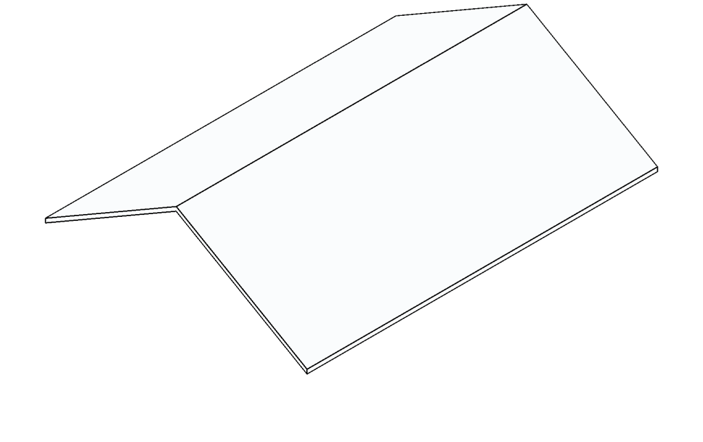
Roof LOD 200
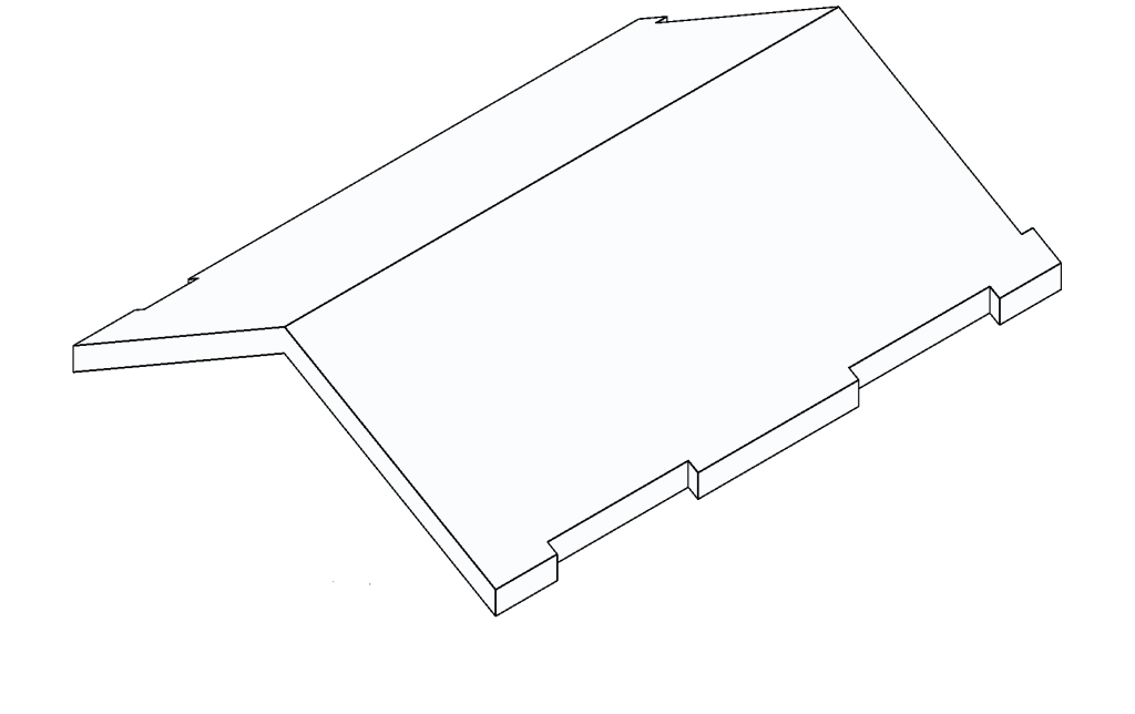
Roof LOD 300
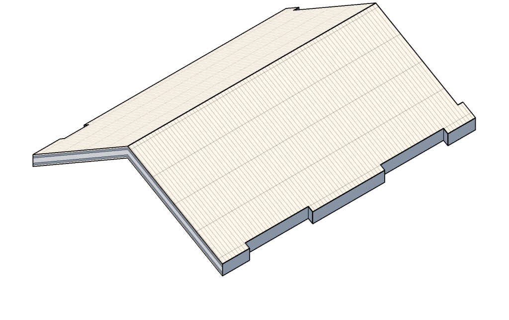
Roof LOD 400
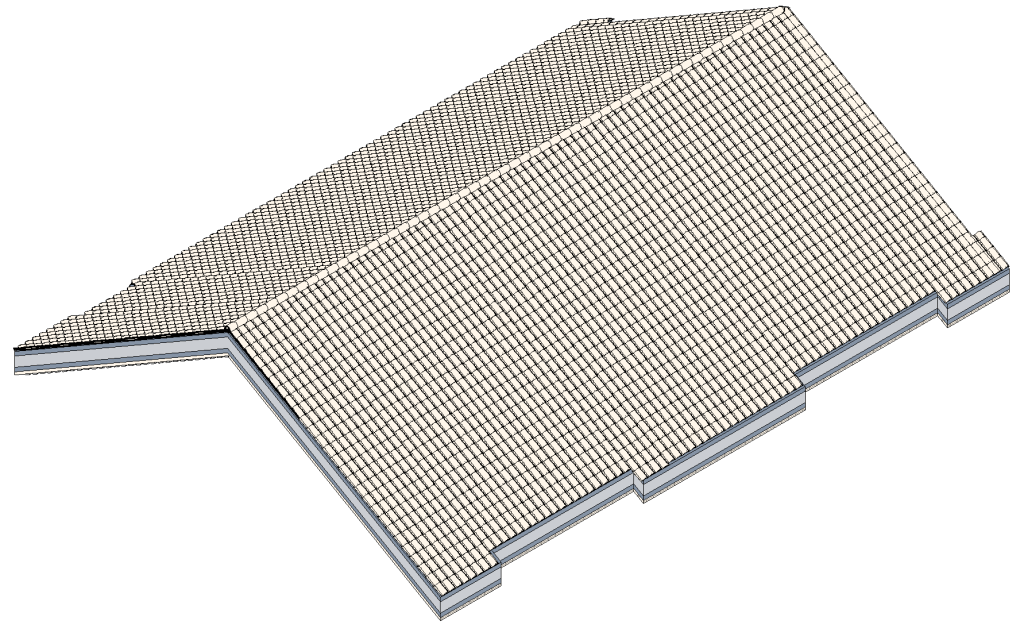
Wall LOD 100
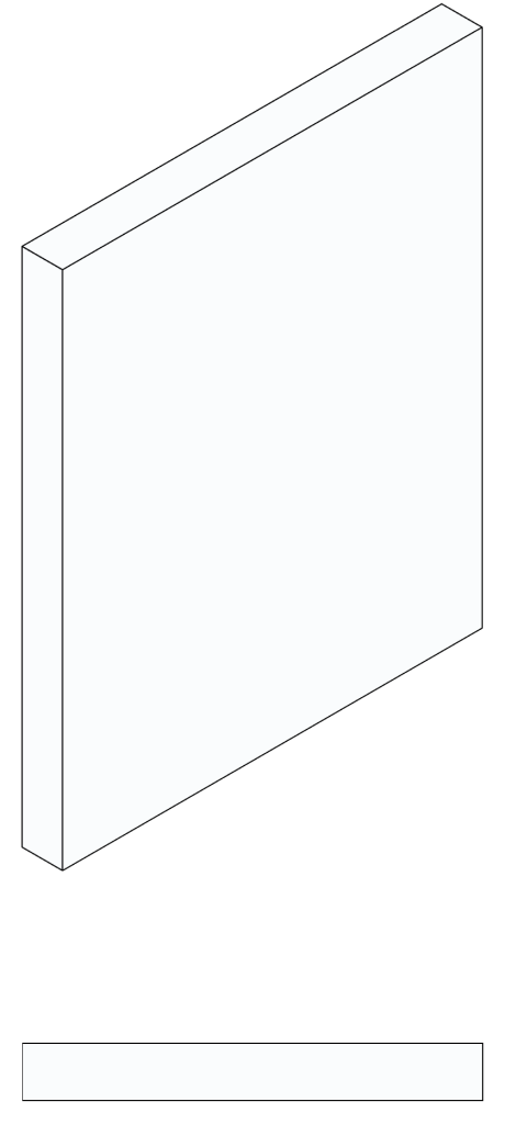
Wall LOD 200
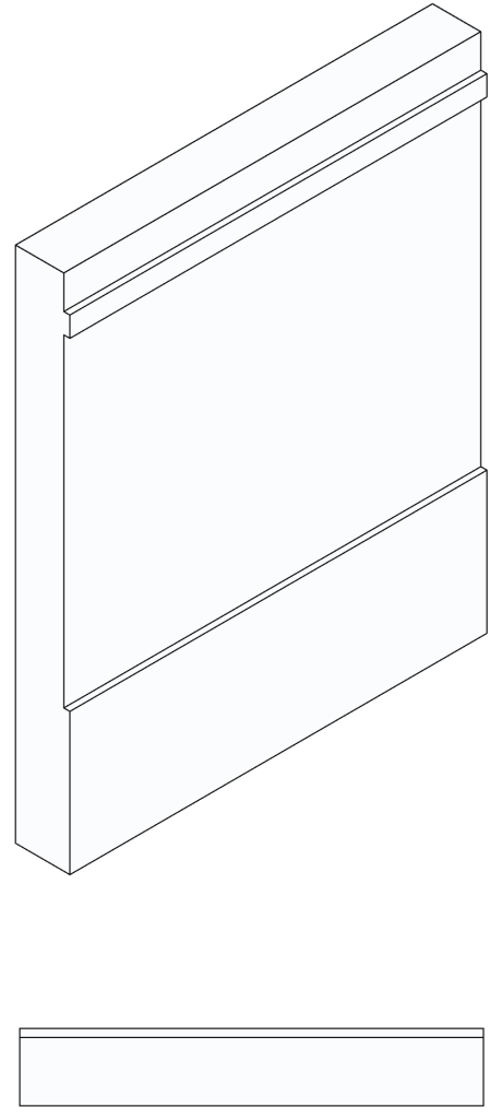
Wall LOD 300
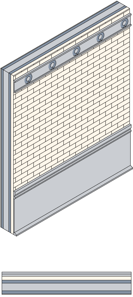
Wall LOD 400
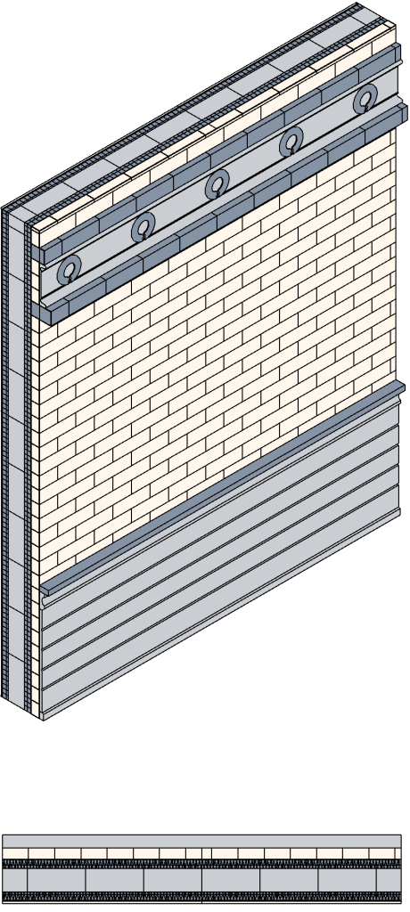
Window LOD 100

Window LOD 200

Window LOD 300

Window LOD 400

Roof and Facade Data Collection - NO Scaffold
Our Survey Process
At Drone Site Surveys, despite our name and squadron of drones that we primarily use for our inspections, our surveyors also use the latest surveying tools to carry out measured surveys. This helps us capture the spatial data required accurately and quickly. Depending on the building size, we’re usually on site for around an hour for domestic properties and usually no more than 1 day for external commercial envelopes including curtilage.
Using a combination of photogrammetry and LiDAR we can process the images and data into 3D Models, AutoCAD drawings, Revit and BIM files. This can be used to work with, share and add to your BIM workflow.
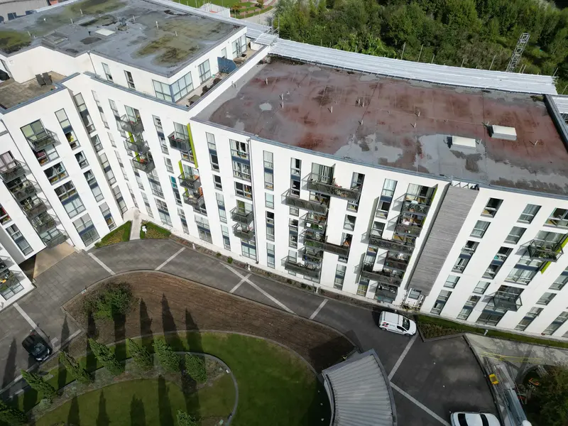
2D Elevation and 3D Modelling Options
Frequently Asked Questions
Property owners and professionals, including architects, construction companies, engineers, property developers and facilities managers can all benefit from obtaining a measured survey. Having detailed building information will allow the planning and foresight required to carry out multiple tasks including maintenance and design works.
Drone Site Surveys can deliver images and data much quicker than traditional surveys usually take. We are an agile company that can respond, depending on airspace permissions and weather conditions in very short time frames, usually being on site within 7 days from instruction. Data is usually delivered within 7 days from site attendance.
Here at Drone Site Surveys we can deliver a multitude of file types in a variety of formats depending on your ordered service. The most commonly requested delivered formats for point clouds are ASTM E57 (.e57), Autodesk ReCap (.rcp) or ASPRS LAS (.las) although we do have many other options available.
Depending on your requirements we can provide highly accurate datasets that are usually +/- 10mm. The accuracy depends on multiple factors including how many ground control points we add, aligned with the onsite scale constraints being collected and added to the models during processing.
Every measured survey is bespoke, unique and will have different demands. Depending on your requirements for your measured survey, Drone Site Surveys provides 3D Modelling from £1450.00+VAT. We also offer no obligation free quotations for all projects so get in touch to get your bespoke personalised quote.
Visual and Digital Measured Building Surveys
Our Other Inspection Services
About Us
Drone Site Surveys uses people and technology to develop solutions that help companies work smarter and safer whilst also reducing carbon footprints.
Find Us
Drone Site Surveys
Liverpool Science Park
131 Mount Pleasant
Liverpool
L3 5TF
info@dronesitesurveys.co.uk
0345 017 5592
0151 482 9464
Mon-Fri: 08:00 – 18:00
Sat-Sun: Closed


