Drone Surveys & Inspection Norwich

Drone Surveys Norwich

Here at Drone Site Surveys, we enable the construction industry to work smarter by using unmanned aerial vehicles (UAVs/Drones) to inspect, measure, and map areas without the need for time-consuming and expensive equipment hire. By having a drone survey across Norwich, you negate the need for scaffolding, cherry pickers, or other ways of viewing your building or construction site at height.

As a CAA approved drone company and a Construction Line Gold accredited business, we have undertaken 100’s of drone surveys across Norwich and the Norfolk region

Using the most modern drone equipment we can provide images and video of your structures at incredible heights. All of our media is in super high resolution with images and video available up to 4K. We can then back these images with a report for you and your team to understand issues that require further invasive inspection.

Get a Free Quote for a Drone Survey or Inspection in Norwich

Norwich

Norwich is a large city in Norfolk, East of England and the county town of East Anglia. With a population of 143,000 Norwich is located 100 miles east of Leicester and 60 miles northeast of Cambridge and 20 miles west of Great Yarmouth.

The city of Norwich is entirely located entirely within the CTR (Controlled Traffic Region) of Norwich International Airport, meaning that drone flights within and around Norwich will be carried out in Class D airspace and require clearance from Norwich ATC prior to flight. The city centre itself is on the outer ring of the FRZ (Flight Restriction Zone) so any flights to the north of West Pottergate, West Earlam or Thorpe St Andrew will require further authorisation from Newcastle ATC and be carried out under specific guidance. The runway extension zones run east to west, from Taverham in the west to Rackheath in the east.

HMP Norwich also has a Flight Restriction Zone extending to 164Ft AGL above the site, to avoid aerial deliveries to the inmates.

As with all large towns and cities, there will be numerous local considerations which should be factored in to your planning along with the usual concerns when flying around towns and cities such as congestion, travel networks etc. It is also important that rail networks should always be factored in to your planning as Network Rail have their own regulations regarding drones around their property in addition to CAA regulations.

While drone flights require greater planning and authorisation in and around town centres, this does not mean that we are unable to fly in these areas. Our trained pilots, alongside our experienced administrative team, will work together to gain the permissions to carry out work in the trickiest of locations!

Drone Inspections Norwich

If you don’t require a report you may just wish to inspect your site in Norwich. Our pilots can work with you or your surveyors to inspect the whole building or focus on the sections most important to you. With our technology, we have systems such as live streaming allowing viewing by wearing a virtual reality headset. Allowing you to attend the site and direct our pilots to inspect areas you wish. The remote streaming allows you and your team to watch the drone inspection take place. Having direct communication with the pilot you can again point us in the right direction or get a closer more detailed look at your assets.

With our drone inspections, we deliver all footage in high quality with resolutions up to 4K available. Inspecting your assets from the air using drones provides a cheaper, faster, and more reliable way of inspection without the need for scaffolding, cherry pickers, or other expensive equipment. Not only that, from a site visit to the delivery of images, can be done within a 48-hour turnaround. Our drone inspections are delivered via a secure, password-secure URL for you to share with your team, suppliers, or contractors that may be carrying out repairs.

Contact Drone Site Surveys today to book your drone inspection or survey anywhere across the Norwich region. Our team will take a few details from you and provide a tailored quote.

Contact Us Today to Book Your Drone Survey or Inspection in Norwich

Drone Mapping Norwich

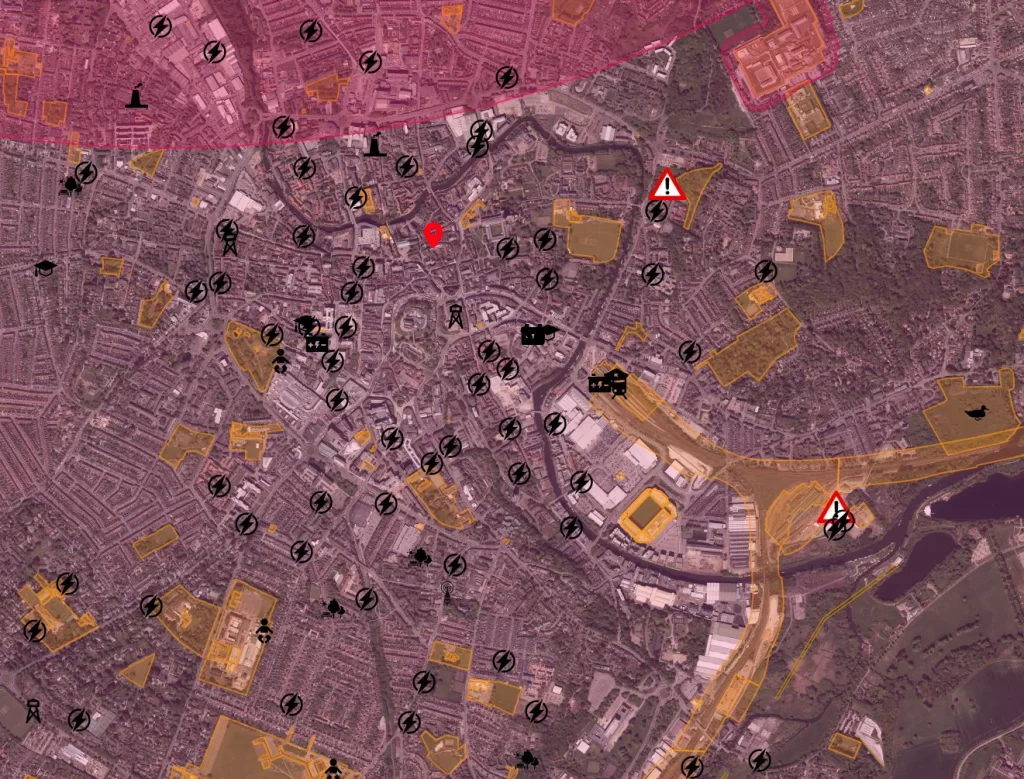
Along with our surveys and inspection, we can provide in-depth mapping for your site. Using high-quality images, high-precision GPS, and photogrammetry, we can map your site so that you don’t need to visit. 

This highly detailed map can help solve clarity issues along with being able to see contour lines, and accurate borders (accurate to 1cm). These can then be overlaid onto images to allow you to build up the ultimate picture of your construction site. You can even combine our drone mapping with construction site progress and time-lapse video to provide you with an ultimate overview of your construction progress from start to finish. 


Surveyor Support Services

As well as providing detailed reports, drone mapping, inspections and surveys we are available to be an all-round surveyor support service. Our team understand your role as a surveyor and how to make your job on-site easier. 

Come and speak to us about our surveyor support services as we don’t just offer drone inspections. We can provide internal and external scanning, 3D models and other services to help you measure, inspect and report on some of your assets without ever visiting a site. Let Drone Site Surveys take the labour away from yourself saving you time and money on your projects. 

Monitor Your Building's and Sites From Above

Norwich City Council Policies on Drone Usage

New legislation to be introduced on 30 November will require operators to register if their drone weighs more than 250g (9oz) and up to 20kg (44lbs).

Drone pilots, wishing to fly outdoors, will need to pass an online competency test – to be renewed every three years.

“Anyone operating a drone must do so responsibly and observe all relevant regulations.” a CAA spokesman said.

~norwich.gov.uk

Our Other Inspection Services

Our Drone Photography Covers the Whole of the UK