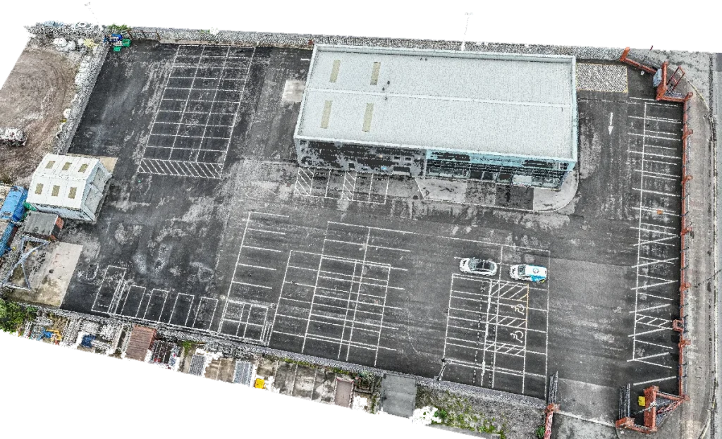
At Drone Site Surveys Limited, we produce high-density point clouds, which are collections of data points representing ground and building features. These are crucial in creating 3D models, orthomosaics, and volumetric data. Our drones capture this data swiftly and accurately. Point clouds serve as a foundation for 3D modeling and simulations, enabling comprehensive site analysis and efficient project planning.
Find Out More
Please fill in the contact form below to find out how Drone Site Surveys can provide scaffold-free inspections on your multi-site portfolio.