
Information
That Would be Smarter by Drone – It’s Probably the One Jobsite Fix You Haven’t Tried Yet
You’d be surprised how many jobsite headaches now have a drone-based answer. From measuring giant stockpiles accurately to inspecting a


You’d be surprised how many jobsite headaches now have a drone-based answer. From measuring giant stockpiles accurately to inspecting a
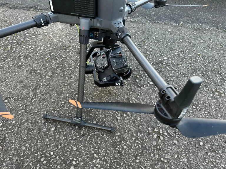
If you look after rail assets or telecoms masts, you already know the uncomfortable truth about “close enough”. A few
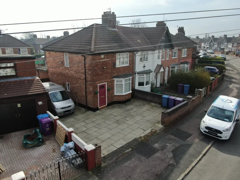
When a big storm hits, most people focus on the obvious question: “Will my insurance cover this?” But your insurer
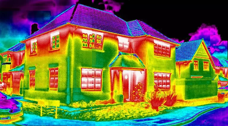
Thermal cameras have transformed the way professionals view and measure the world around us. Once reserved for military or scientific
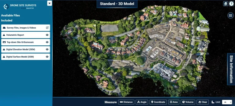
When you are making decisions worth millions, “good enough” data is never enough. Drone Site Surveys provides land developers with
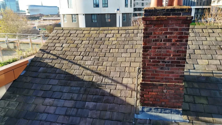
When it comes to protecting property investments and managing building assets, a Schedule of Condition Survey is one of the


