Monitor Your Workflow
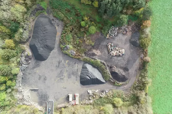
Drone Site Surveys utilises the latest drones and the most up to date software platforms to accurately measure volumes with speed.
Using RTK Drones with added Ground Control Points enables you to track, map and get accurate measurements of your assets in super quick time.
Find Out More
Volumetric Surveys
A stockpile survey, using traditional surveying tools and Surveyors can be a laborious and time-consuming process. However, utilising drones to carry out the task enables your volumetric surveys to be completed quickly. Along with being a lot more accuracy than traditional methods.
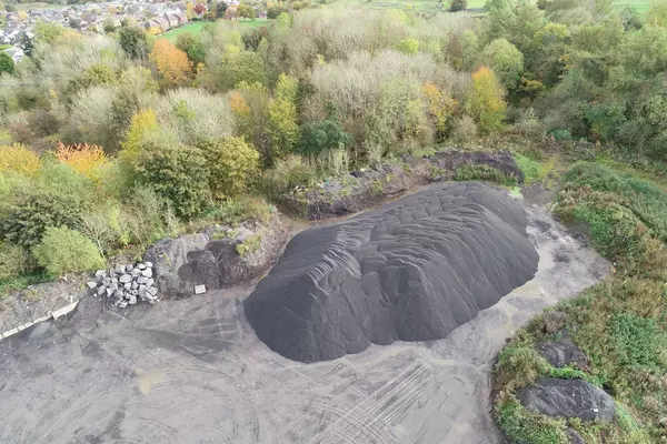
RTK Drones aligned with Ground Control Points give highly accurate measurement results from the air. With stockpile surveys we can accurately measure the volume of aggregate stockpile workflows and movement. UAV’s are able to take topographical surveys in a fraction of the time than has been previously possible. Giving you & your clients greater control over your assets.
Civil Engineering and Construction Companies across the world frequently monitor their stockpiles. Using RTK drones can greatly improve the speed, accuracy and delivery of volume measuring stockpile data. Here at Drone Site Surveys, we offer daily, weekly and monthly surveys, enabling you to monitor and track your aggregates, consistently.
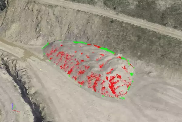
It’s not just about tracking the usage, we use our photogrammetry software and drones to provide measurements of installations combined with stockpiles. With these volume measurements, you can easily track any mismanagement of your stocks. Start using drones and you will never be uninformed again. We can give you exact data, aligned with time-lapse management, which will visually display the movement of the stockpiles between visits. This could lead to an increase in site productivity and job profitability.
Photogrammetry Software
We’ve briefly touched on this, however, this is the lifeblood of what we do. Without photogrammetry software and RTK drone technology, we would be unable to measure and turn our aerial footage into data that can be processed.
Dependent on your requirements, we use a number of different software platforms for our deliverable data options. Every photogrammetry package that we use offers slightly different deliverables, however, they all offer topographical and measurement options. We can also create 3D rendered models that allow for, as well as the stockpile measurement, the degree angles of slopes, and the depths of any trenches on site.
If you’re on the lookout for efficient and reliable drone services to enhance your business operations, look no further than Drone Site Surveys! Our team of skilled professionals can offer you a broad range of commercial drone pilots and services customized to suit your individual needs.