
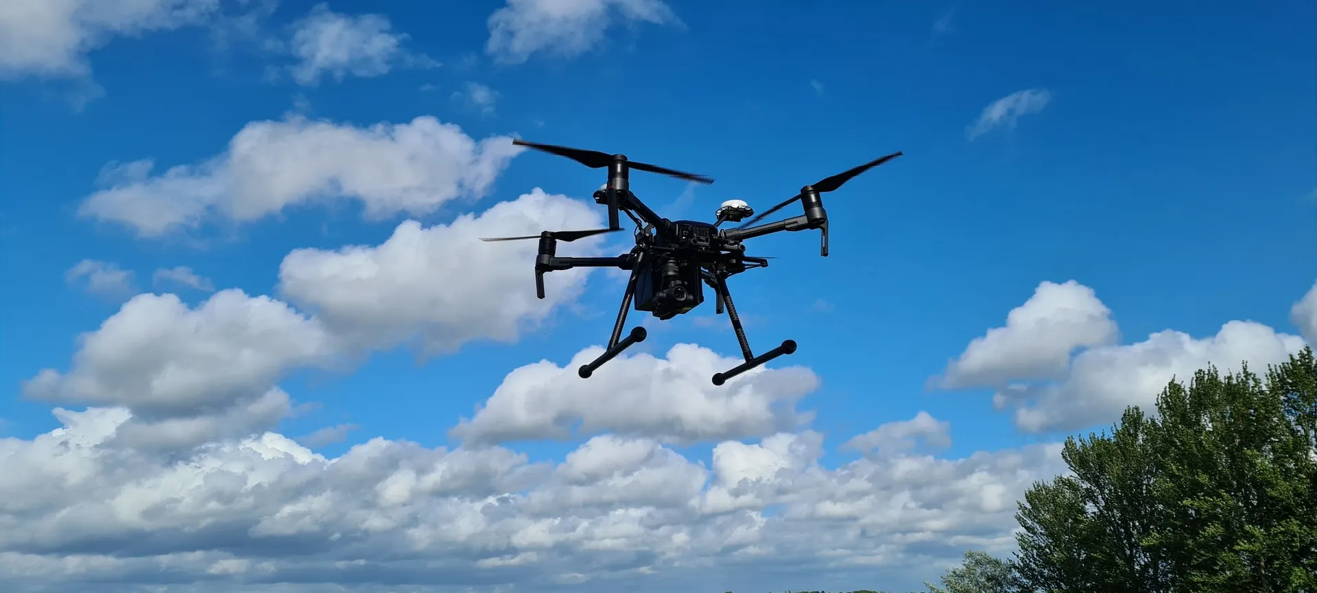
Not all drone surveys are the same. The difference is rarely the drone itself. It is the permissions, planning, data quality, reporting and usefulness of the outputs.
Capturing the right visual evidence early can surprisingly simplify many housing problems. Not every issue can be solved from the air, and not every inspection should be drone-led, but many external building questions can be answered faster and more safely with a properly planned survey.
For procurement teams, asset managers and compliance leads, the real value is not simply sending a drone up for a few photos. The value is turning buying the right drone survey into clear outputs: condition imagery, thermal insights where appropriate, sectioned overviews, measurements, reports, and records that help people decide what to do next.
Why Housing Providers Need More Than Drone Photographs
The cheapest drone survey does not always offer the best value. A low-cost survey may produce a folder full of images, but that does not mean the information will help a housing team make a clear decision.
Housing providers often need evidence that supports maintenance planning, disrepair investigations, compliance records, contractor quotations, capital works programmes and resident communication. That requires more than good-looking aerial imagery.
A well-planned drone survey should answer a specific question. For example:
- Is the roof showing signs of failure?
- Are gutters blocked, damaged or poorly located?
- Does a facade show weathering, cracking or staining?
- Could heat loss relate to a specific building detail?
- Does a contractor need better access to information before pricing works?
- Does the asset team need a clearer condition record?
When the survey starts with the right question, the provider can plan the flight, imagery, reporting and deliverables around the decisions the housing team needs to make.
Where Drone Survey Services Support Housing Providers Decisions
Drone survey services work best when they focus on a clear housing or maintenance challenge. A team may need to confirm the cause of a roof leak, check failed gutters, review a weathered façade, investigate possible heat loss, or give a contractor better access to information before pricing.
By setting the purpose first, the survey can capture evidence that supports the next decision. Drone site surveys can adapt the method across roof inspections, building inspections, thermal surveys, pre-solar surveys, point cloud data, progress monitoring, and housing repair investigations, helping clients choose the right approach for each major work programme.
- Permissions and competence: Ask about CAA approval, pilot experience, insurance and how flight planning is handled.
- Survey purpose: Be clear whether you need defect imagery, thermal data, measurements, mapping, progress records or a formal report.
- Deliverables: Check how images, reports, section overviews, thermal files and supporting data will be delivered.
- Limits of the method: A responsible provider should explain when a drone survey should lead to further intrusive or hands-on inspection.
What Useful Outputs Look Like
This stage is where drone work either becomes useful or becomes another folder of nice images. Housing teams require information that they can review, share, and act on.
Images, data, and reports can be delivered through a secure online portal with sectioned overviews that make it easier to locate defects in a building or site.
- A clearer survey brief before procurement.
- Better comparison between providers.
- Fewer surprises around permissions, access and data delivery.
- Survey outputs that match the operational decision.
- More confidence that the final report will be useful.
How Better Evidence Supports Asset, Repair and Compliance Teams
The practical benefit of a drone survey is fewer blind spots. A repairs manager can observe the obstructed gutter that was previously invisible from the ground. An asset manager can review the roof condition before planning future works.
A compliance lead can retain a clearer visual record of what was visible at the time of inspection. A contractor can price work with a better context before attending the site.
This clarity supports better decisions across housing operations. It can help teams prioritise their work, reduce unnecessary access costs, improve communication, and build a stronger evidence base.
The Real Value of a Well-Planned Drone Survey
The drone is the easy part. The real value sits in the workflow behind it.
A good drone survey provider plans the work safely, captures the correct information, presents the findings clearly, and helps the client decide what to do next.
For housing providers, procuring drone survey services should involve more than comparing day rates or image quantities. The right provider should understand permissions, safety, data handling, quality reporting and the practical needs of housing teams.
If you are comparing drone survey providers, Drone Site Surveys can walk you through the permissions, deliverables, and reporting options that fit your project. The right survey will not just show you what is there. It will help your team act with more confidence.