
Information
How to Use Matterport 3D for Accurate Internal Building Surveys?
Accurate internal building surveys are vital for a wide range of professionals, from architects and building consultants to estate agents


Accurate internal building surveys are vital for a wide range of professionals, from architects and building consultants to estate agents
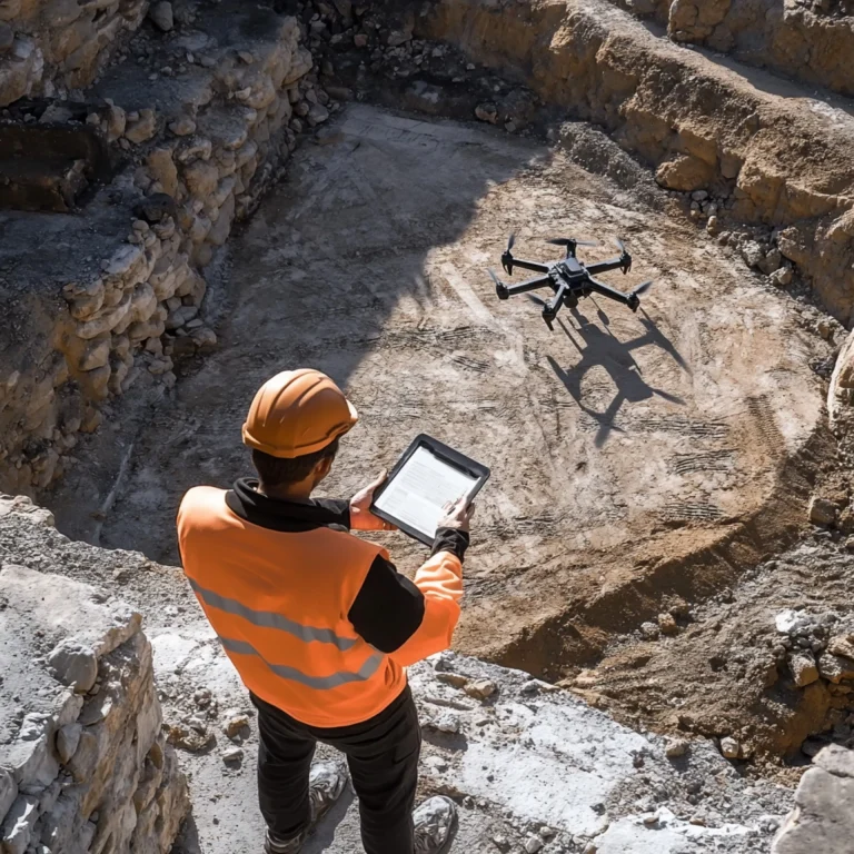
Choosing an appropriate surveying method has a big effect on the accuracy, timeliness, and budget of projects in building, engineering,

In fields like mining, construction, and logistics, where accurate volume calculations affect cost management and efficiency, stockpile measuring is very
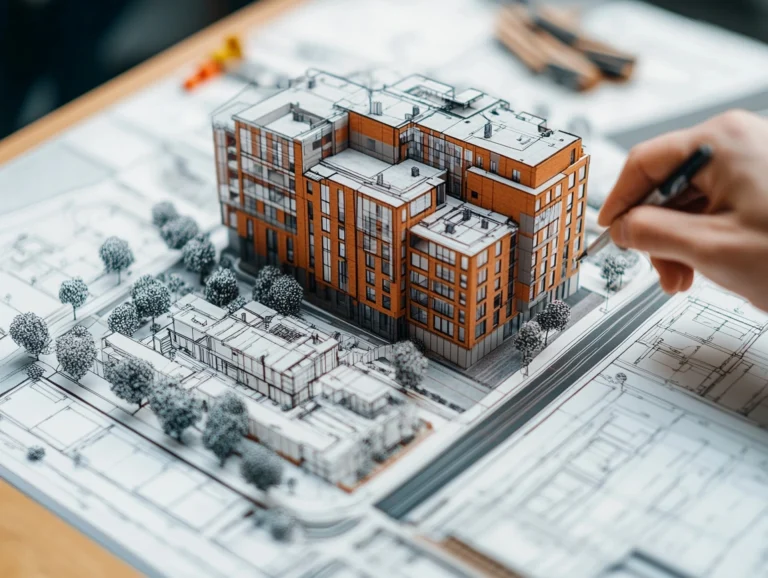
In the fields of architecture, construction, and property management, measured surveys are extremely important because they provide precise depictions of

In a time when technology is always changing, digital twin technology is quickly becoming one of the most important new

Photogrammetry is the art and science of obtaining accurate measurements from pictures is revolutionising the modern construction and infrastructure industries.