
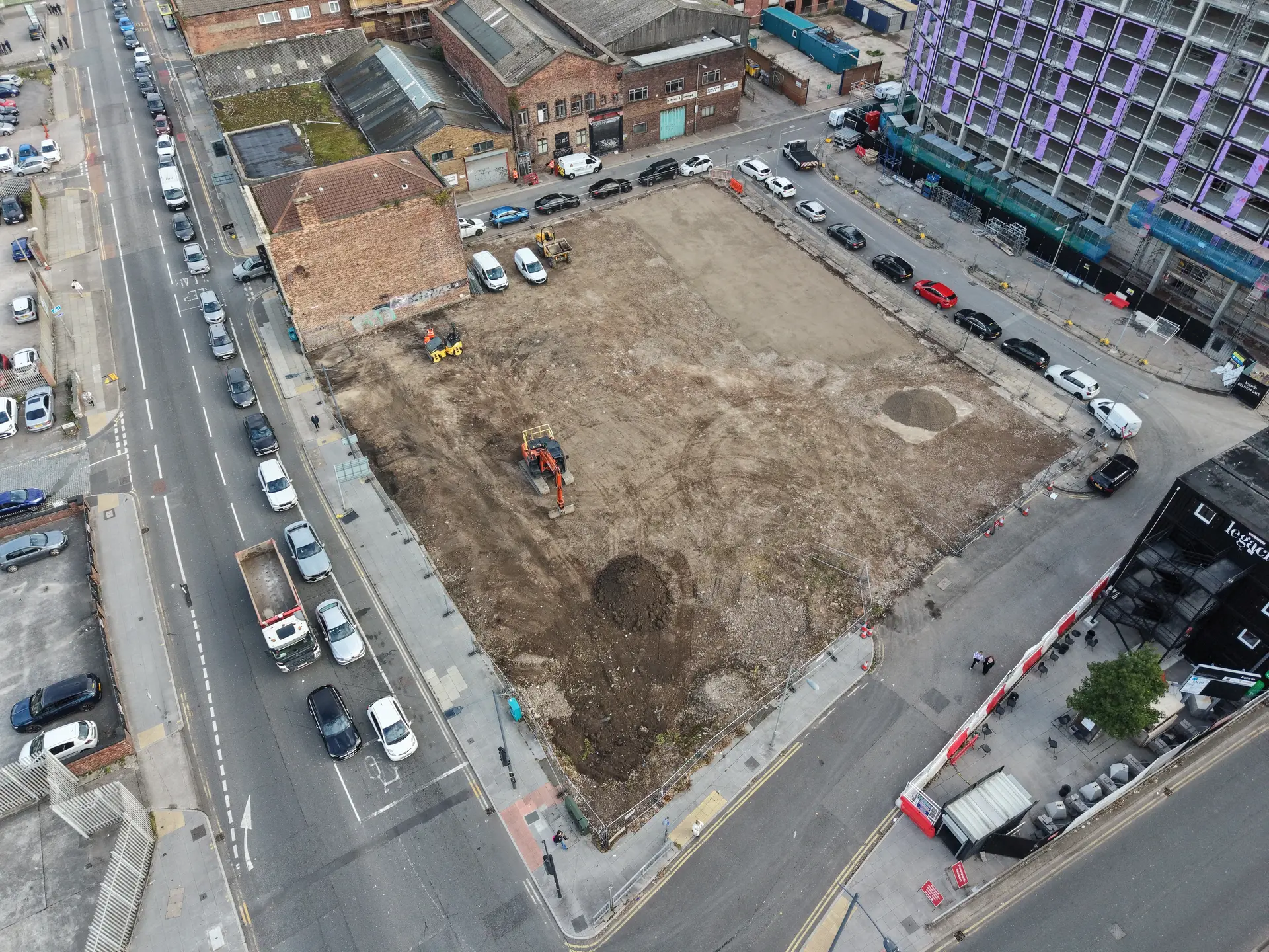
Remediation projects can quickly become expensive, disruptive and complicated if teams do not have a clear view of the building before work begins.
Capturing the right visual evidence early can surprise you by making many housing problems easier to manage. A properly planned survey can help teams answer many external building questions faster and more safely, even though drones cannot solve every issue from the air and should not lead every inspection.
For building safety managers, compliance teams and project leads, the real value is not simply sending a drone up for a few photographs. The value is turning safer remediation planning into clear outputs: condition imagery, thermal insights where appropriate, sectioned overviews, measurements, reports, and records that help people decide what to do next.
Why Clear Evidence Matters Before Remediation Work Begins
Building safety work depends on good evidence. Teams need to understand what inspectors reviewed, what they could see, what conditions they found, and which areas need further attention.
High-level building elements are often the hardest to inspect safely. Drones can reduce the need for people to work at height while still capturing detailed imagery that technical teams can review.
Accountable individuals, resident engagement teams, and project leads gain a clearer shared record, rather than just a set of impressive aerial photos.
Where Drone Surveys Add Value to Building Safety
A good drone survey begins with the question the client is trying to answer.
Is the roof showing signs of deterioration? Are gutters failing? Is water ingress linked to a high-level detail? Are there visible cracks, staining or spalling on an elevation? Does a contractor need better access to information before pricing the works? Is thermal insight required to support a wider investigation?
Once teams define the question clearly, they can plan the survey around useful outputs instead of simply flying the drone and collecting images.
Drone Site Surveys supports clients with roof inspections, building inspections, thermal surveys, pre-solar surveys, point cloud data, progress monitoring and housing disrepair investigations. This approach means the survey method can be matched to the type of decision being made.
- Facades and elevations: Capture visual evidence of cracking, staining, spalling, failed sealants, fixings or other visible concerns.
- Roofs and high-level details: Inspect hard-to-access areas that may need remediation, planned works or further intrusive checks.
- Before and after records: Create a useful record before work begins and after contractors have completed key stages.
- Resident communication: Use clear imagery to explain what has been inspected and what will happen next.
What Should a Useful Drone Survey Deliver?
High-resolution imagery allows technical teams to inspect visible details more closely. This can support early reviews of roofs, facades, gutters, high-level masonry, rooflights, flashings, plant areas and access points.
Capture the imagery with the intended use in mind. For example, a general marketing-style aerial image may look appealing, but it may not provide the level of detail needed for a remediation scope. A properly planned inspection focuses on the areas that matter to the building team.
- High-resolution imagery for technical review
- A record of high-level areas without unnecessary working-at-height exposure
- Visual evidence to support remediation scopes and resident updates
- Sectioned building overviews to make defects easier to locate
- A repeatable record for future comparison
Supporting Safer Decisions Before Remediation Work Begins
Drone surveys help project teams make decisions with better visibility from the start. Teams can review clear imagery of roofs, gutters, elevations, and other high-level areas before deciding what action to take, rather than relying only on ground-level photographs, assumptions, or costly access during the early planning stage.
This provides repair managers, asset teams, and compliance leads with a stronger evidence base. Teams can use it to confirm whether a defect needs urgent attention, whether a planned work programme can move forward, or whether they need to arrange a specialised inspection for a specific area.
A drone survey should not be treated as a replacement for every form of inspection. Some building issues still require close-up testing, open-up works or a specialist assessment. Its real value lies in helping teams narrow their focus, reduce uncertainty, and plan the next stage of remediation with greater confidence.
Turning Survey Data into Clear Remediation Decisions
Understanding and acting on the information captured in a drone survey is crucial. The flight itself is just one stage of the process. The organisation of the imagery, evidence, and site data into a clear record for those planning the next step is of utmost importance.
For building safety remediation, this means providing teams with practical information they can use to assess risks, discuss work with contractors, and keep stakeholders informed. Before arranging access, repairs, or further investigations, clear roof imagery, elevation evidence, and high-level inspection data can all help reduce uncertainty.
Drone Site Surveys help clients move from limited visibility to clearer planning, giving project teams the evidence they need to make safer, better-targeted decisions before remediation works begin.


