
New homes should begin their life in the best possible condition. However, if developers, contractors, or client-side project managers miss small issues with roofs, gutters, flashings, cladding, balconies, or external finishes before handover, they can become costly.
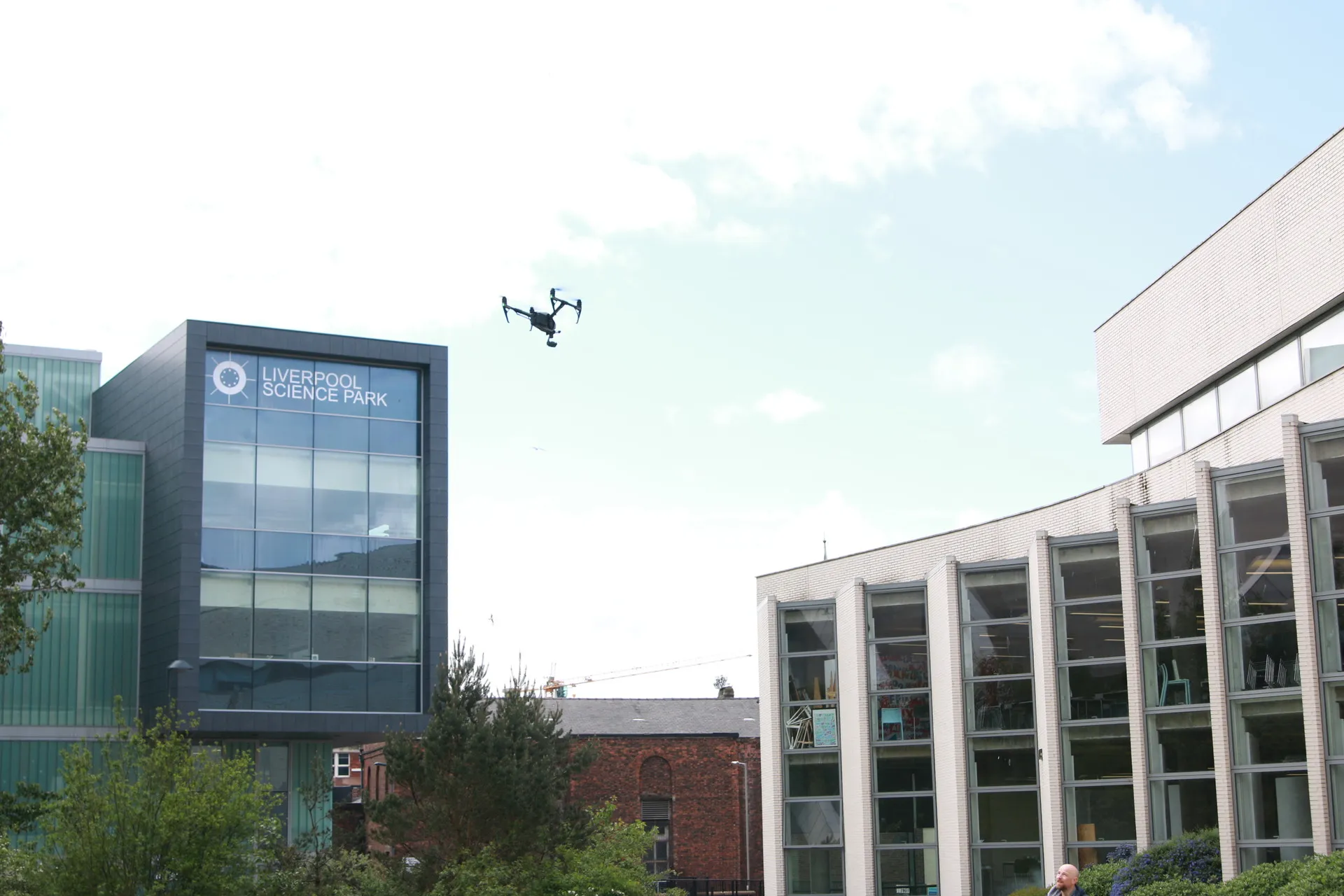
For developers, contractors and client-side project managers, one of the biggest challenges is visibility. Some areas are challenging to access safely from the ground, while others only reveal their issues when viewed from above. This is where new-build drone quality checks can support better construction, snagging and handover decisions.
A drone survey does not replace every form of inspection. Instead, it provides clear visual evidence of external areas that may otherwise be hard to review. Properly planned surveys can assist teams in identifying visible defects, recording progress, and determining the need for further investigation.
What Are New Build Drone Quality Checks?
Drone quality checks for new builds evaluate the outside of new residences, apartment towers, and residential developments. Before scaffold removal, practical completion, or handover, we commonly photograph roofing, guttering, facades, balconies, and high-level finishes.
The purpose is not simply to produce aerial images. A useful drone inspection should answer practical project questions, such as:
- Do the roof works appear complete?
- Are gutters, outlets and downpipes visibly installed?
- Are there signs of ponding, staining or poor drainage?
- Do facades, cladding or render areas show visible workmanship issues?
- Does the completed work appear to match the expected design intent?
Why Quality Checks Matter on New Homes
Multiple trades, tight schedules, and changeable access are common on new build sites. Handover may remove scaffolds, making it difficult to monitor high-level sections.
Visible concerns affect appearance, drainage, maintenance, and longevity. Poor flashings, gutters, roof materials, and edge detailing are examples.
Used at the right stage, a drone survey can help project teams:
- Review external workmanship from above
- Create a visual record before handover
- Support clearer snagging discussions
- Identify areas that may need closer inspection
- Reduce uncertainty around difficult-to-access locations
- Record visible site conditions at a specific point in time
Drone surveys play a crucial role in the broader quality assurance process, particularly when external areas require assessment before changes in access conditions.
What Areas can be Reviewed by a Drone?
Drone surveys are most useful for external areas that are difficult to inspect safely or clearly from ground level.
Common inspection areas include:
- Roof coverings, ridges, valleys and parapets
- Flashings, gutters, outlets and downpipes
- Rooflights, solar panels and external installations
- Brickwork, render, cladding and facades
- Balconies, canopies and high-level finishes
- Site progress and visible as-built conditions
To achieve optimal results, the survey brief must specify the buildings, elevations, plots, or features requiring review. A focused brief helps the inspection capture decision-ready evidence rather than general site photography.
When Should a Drone Survey Be Used?
The most useful drone surveys are arranged around a certain project stage or problem. Drone inspections can be employed before occupation, where trades, materials, and access arrangements are available.
Useful times to arrange a drone inspection include:
- Before scaffold removal
- Before client walk-around inspections
- Before practical completion
- Before occupation
- During staged progress reviews
- Before the final contractor sign-off
- During planned maintenance handover
- As part of warranty or defect discussions
The clearer the timing and purpose, the more useful the survey becomes. A focused inspection helps avoid images that look good but do not answer the project’s real questions.
Where Drone Surveys Add the Most Value
Drone surveys add the most value when they support construction inspection and progress monitoring, helping teams review difficult-to-access areas, track progress or create clear handover evidence. Used alongside wider site quality checks, they can support safer planning and more focused snagging.
- Roof and envelope checks: Capture imagery of coverings, flashings, gutters, parapets, rooflights and other details that are difficult to inspect from the ground.
- Progress records: Use regular aerial imagery to show what has changed and whether work is tracking as expected.
- As-built comparison: Combine imagery, mapping or point cloud outputs where teams need to compare site reality against design intent.
- Handover evidence: Create a visual record before practical completion or occupation.
Common Visible Issues That May Be Spotted From Above
Drone inspections can help identify a range of visible issues on new build sites. These observations should be treated as visual evidence and, where required, followed up with closer inspection or specialist assessment.
Common issues may include:
- Slipped, damaged or missing roof materials
- Incomplete or poorly finished flashing details
- Blocked, misaligned or damaged gutters
- Poor drainage, falls or visible ponding water
- Cracked or damaged rooflights
- Staining on external surfaces
- Unfinished parapet or edge details
- Inconsistent cladding, render or brickwork finishes
- Visible gaps or installation issues around external features
- Areas that appear different from the intended design or specification
A drone survey cannot identify every defect. Roof coverings, external walls, insulation layers, and mechanical or electrical systems can hide some issues. Because of this, contractors, surveyors, and property owners should use drone quality checks as part of a wider inspection and quality assurance process.
How Drone Surveys Support Safer Working
Height work is risky, expensive, and planned. Inspections and remedial work may involve scaffolding, ladders, mobile towers, and access platforms, although they are not always the ideal initial step.
Often, a drone can provide a first visual inspection without height. Before deciding on hands-on access, project teams can assess the visual state.
This can support safer planning in several ways:
- Teams can identify the likely location of visible issues before arranging access
- Follow-up inspections can be more targeted.
- Access equipment can be planned around known areas of concern.
- Unnecessary working-at-height checks may be reduced.
- Site teams can make more informed decisions before committing to the next stage.
A drone survey does not remove the need for safe access where physical inspection, testing or repair is required. It simply assists teams in making better decisions before taking the next step.
What Useful Outputs Look Like
A drone survey is only useful if the outputs are clear, structured and easy to act on. The best reports do more than provide images. The project team gains insight into the captured data, its location, and any potential areas requiring further examination.
Useful outputs may include:
- High-resolution inspection images
- Progress photographs from agreed-upon viewpoints
- Annotated images showing areas of interest
- Roof and facade condition observations
- Handover evidence records
- Mapping or point cloud data where required
- A summary of visible issues and limitations
- Recommendations for further inspection where needed
The report should be written in plain language and should make clear that drone evidence is visual evidence. It can show what is visible at the time of the survey, but it cannot confirm hidden defects behind coverings, within walls or inside service installations.
What to Consider Before Booking a Survey
Before arranging a construction drone survey, it is worth preparing a clear brief. The brief should detail the buildings, elevations, or areas that require review, the concerns raised, and the required output format.
Project teams should also consider:
- Site access and safe take-off locations
- Nearby people, roads or occupied properties
- Airspace restrictions and permissions
- Weather conditions and visibility
- Privacy and data handling
- Whether thermal imaging, mapping or modelling is required
The survey provider will also need to consider:
- Safe take-off and landing locations
- Nearby people, roads and occupied properties
- Weather conditions and visibility
- Airspace restrictions and permissions
- Privacy and data handling
- Site-specific health and safety requirements
Using a competent drone survey provider with construction experience is important. The operator should understand site safety, inspection requirements and how to produce records that are useful to contractors, consultants and client teams.
The Real Value of Drone Surveys on New Homes Quality Checks
Drone surveys are more than just flights. Capturing, organising, and helping people make better judgements is what it is.
Drone quality checks can decrease blind spots, help with snagging, improve handover records, and focus follow-up inspections for new builds.
They can address apparent concerns before they become tougher to manage when deployed at the proper stage with a clear brief and practical reporting.