
In fields like mining, construction, and logistics, where accurate volume calculations affect cost management and efficiency, stockpile measuring is very important. That being said, which is better: the old-fashioned way or using a drone to measure the stockpile? Each has pros and cons that depend on things like safety, accuracy, cost, and how well it works.
This guide looks at the differences between traditional stockpile measuring and measuring with a drone to help you choose the best method for your business.
Understanding Stockpile Measurement Methods
What is Traditional Stockpile Measuring?
Traditional stockpile measurement involves manual techniques such as:
- Total Station Surveys: Using ground-based instruments to measure stockpile points.
- GPS-Based Methods: Collecting coordinate data using handheld or mounted GPS devices.
- Laser Scanners: Scanning stockpiles with ground-based laser technology.
- Manual Calculation with Tape Measures: Used for smaller stockpiles, relying on estimation formulas.
People have used these methods for decades, but they take a long time, need skilled surveyors, and are prone to mistakes.
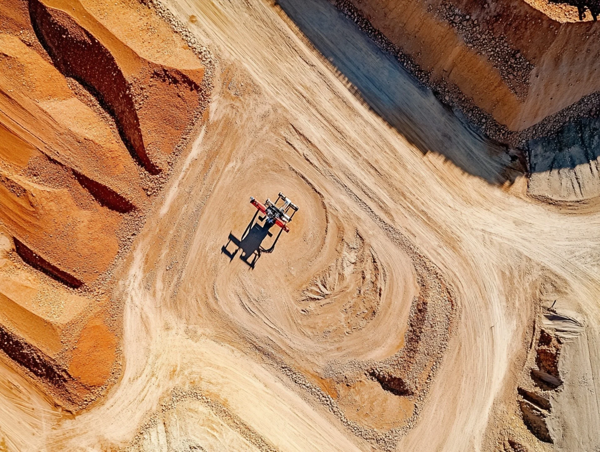
How Does Drone-Based Stockpile Measurement Work?
The measurement of stockpiles using drones employs UAV technology, incorporating high-resolution cameras and LiDAR sensors for precise data collection. The drones in question:
- Capture aerial images from multiple angles.
- Use photogrammetry to create 3D models of stockpiles.
- Process data using specialised software to calculate volume and dimensions.
This modern approach offers automation, improved accuracy, and efficiency compared to manual surveying.
Comparing Accuracy and Precision
Human Error vs. Automated Data Capture:-
Traditional methods rely on surveyor judgement, which increases the likelihood of errors. Weather conditions, surface irregularities, and a lack of measurement points can all harm accuracy.
However, drones automate data collection, eliminating human error and ensuring consistent measurements. Their ability to capture high-resolution aerial imagery enables precise volumetric calculations with minimal errors.
How Drones Improve Measurement Accuracy:-
Drone-based measurement systems use advanced software to stitch multiple images together, resulting in extremely detailed 3D models. These models provide precise volume estimates, making them better suited for stockpile inventory management.
Efficiency and Time-Saving Factors
Labour-Intensive vs. Automated Surveys:-
The old method of measuring stockpiles involved surveyors visiting the site, setting up their tools, and performing the math by hand. For big piles, this step could take hours or even days.
On the other hand, drones can scan a whole site in minutes, which greatly reduces labour times and allows companies to conduct regular stockpile assessments without stopping operations.
Speed and Accessibility in Difficult Terrains:-
Complex environments, like quarries, mining sites, or construction zones, often house certain stockpiles, posing several challenges. Traditional methods frequently require surveyors to navigate unstable terrain, which increases the risk involved.
By collecting data from a remote location, drones offer a more secure and expedient alternative. They can fly over challenging terrains, which allows them to perform comprehensive site coverage without putting personnel in danger.
Cost Comparison: Traditional vs. Drone-Based Methods
| Feature | Traditional Methods | Drone-Based Methods |
|---|---|---|
| Time Required | Hours to days | Minutes |
| Accuracy | Susceptible to errors | Highly precise |
| Safety | High-risk for workers | Safer, no physical contact needed |
| Cost | Expensive labour costs | Lower long-term costs |
| Data Processing | Manual calculations | Automated with AI |
| Real-Time Monitoring | Not available | Instant reporting |
The Future of Stockpile Measurement
Industries that need precise volumetric analysis are increasingly using drones to measure their stockpiles. Drones are transforming material management through cloud-based reporting and analytics driven by AI.
However, sectors where laws or environmental factors prohibit drone use still have a place for traditional approaches. To ensure complete accuracy, some businesses might favour hybrid solutions that combine manual and drone-based methods.
Choosing the Right Method for Your Business
When deciding between traditional and drone-based stockpile measurement, consider the following:
- Size of Stockpiles: Large stockpiles benefit more from drone-based surveying.
- Budget: While drones require an initial investment, they save costs in the long run.
- Safety Concerns: If worker safety is a priority, drones are the safer choice.
- Accuracy Needs: If high precision is required, drones provide better results.
Final Verdict: Which is Better?
When it comes to accuracy, speed, and safety, stockpile measuring by drone is better. However, there are times when traditional methods are still useful. Before making a choice, businesses should think about what they need and the rules in their industry.
Now is the time to think about upgrading to drone-based solutions if your business relies on measuring stockpiles. Welcome to the future of managing stockpiles in a way that is accurate, quick, and safe!


