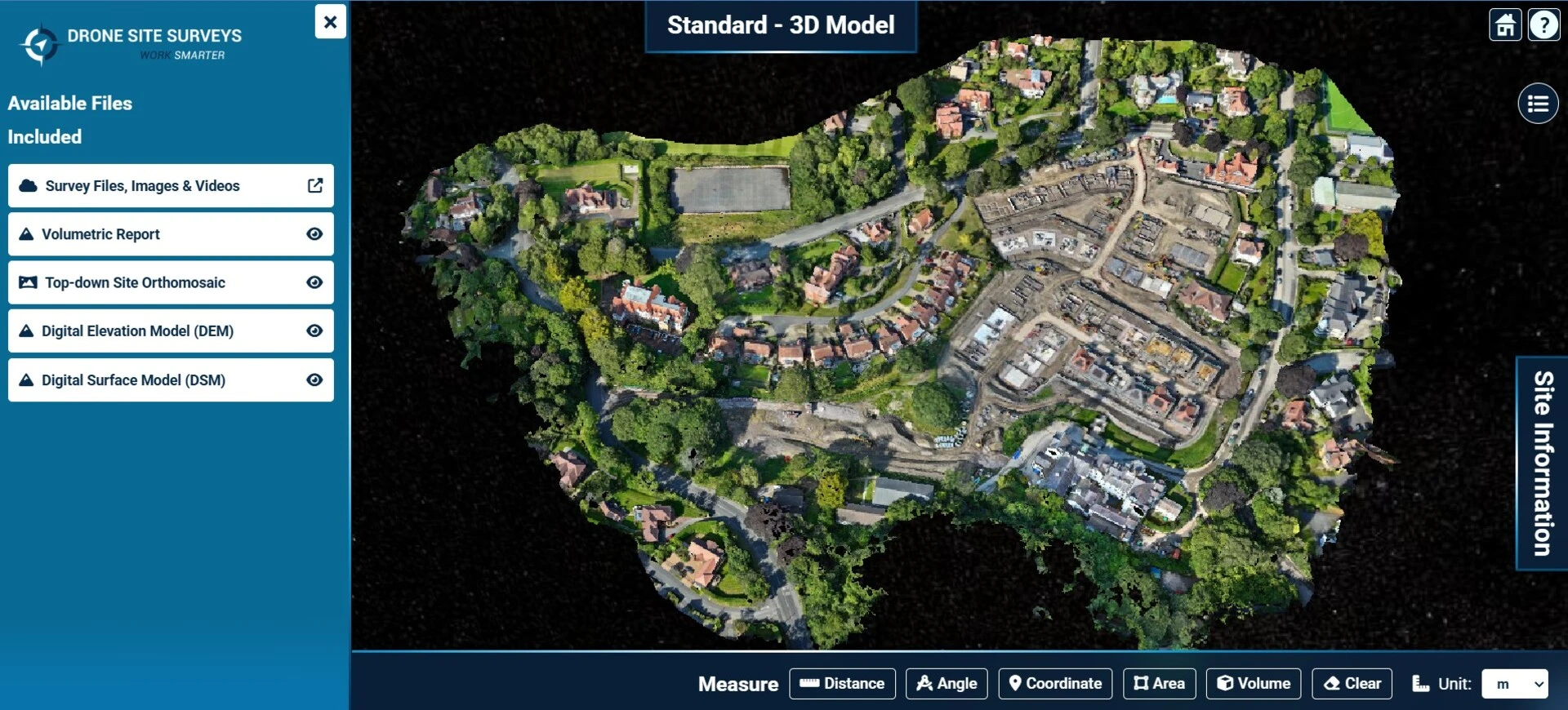
Land Surveying
Land Developers: Get the Truth from Above with Drone Site Surveys
When you are making decisions worth millions, “good enough” data is never enough. Drone Site Surveys provides land developers with high-resolution aerial



When you are making decisions worth millions, “good enough” data is never enough. Drone Site Surveys provides land developers with high-resolution aerial
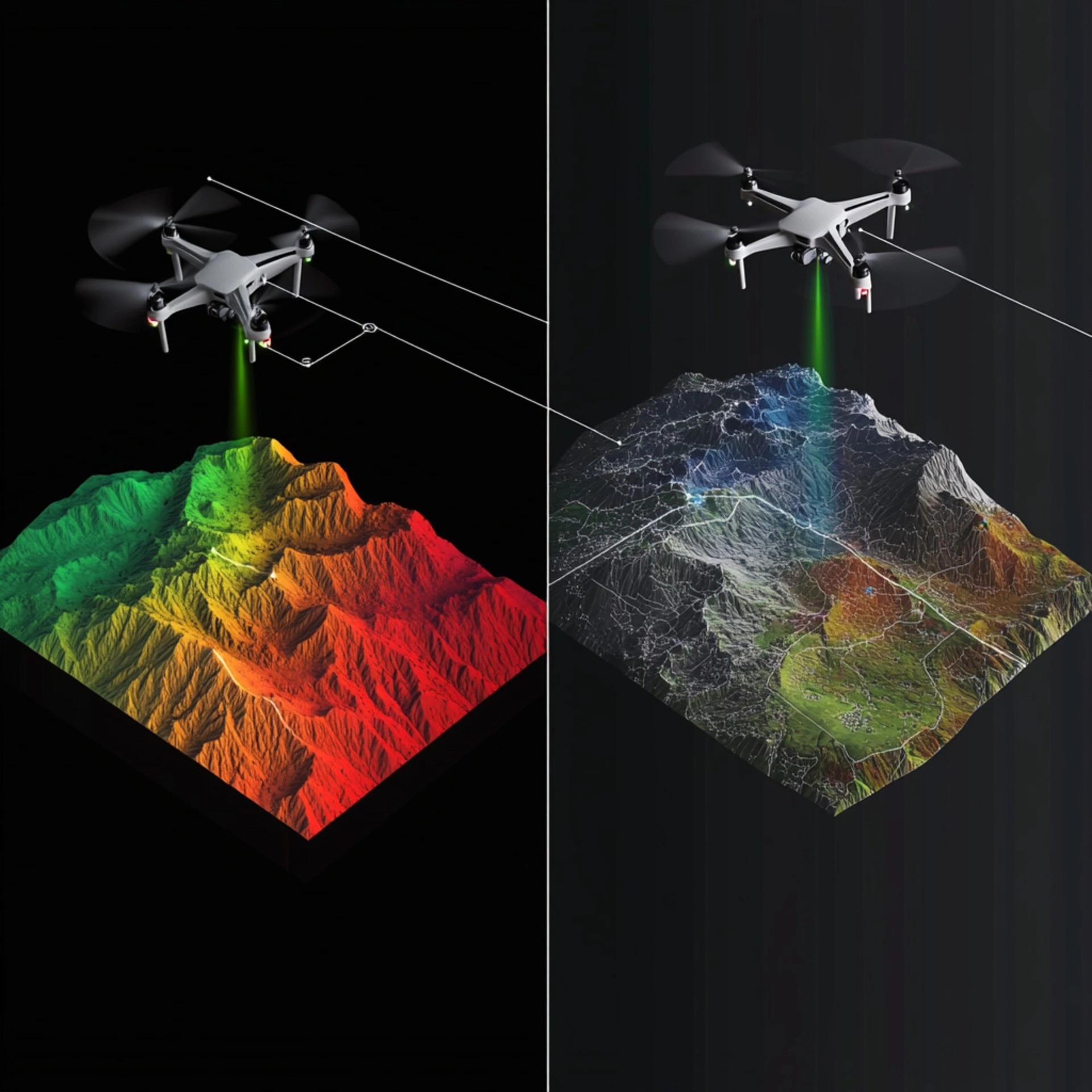
In aerial surveying, professionals often compare photogrammetry with LiDAR (Light Detection and Ranging). Both methods can produce accurate and reliable data, but

A topographical survey is a detailed survey that maps the physical features of a piece of land. This type of survey is
We will usually respond within 2 hours.