


Point cloud surveys
Accurate 3D point clouds of buildings and sites, captured by drone, LiDAR and laser scanning, and delivered in the format your software needs.
Available Files: E57, LAS/LAZ, RCP/RCS, PTS & More
LiDAR
& Photogrammetry
16+
File Formats
48hr
Typical Delivery
0
Days of Scaffold
Point Cloud Surveys
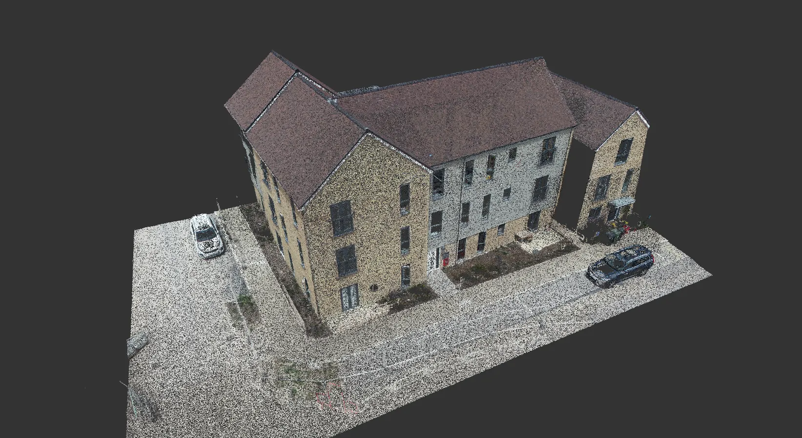
A point cloud is a dense set of measured 3D points that records the exact shape of a building or site. It’s the foundation for accurate drawings, models and measurements.
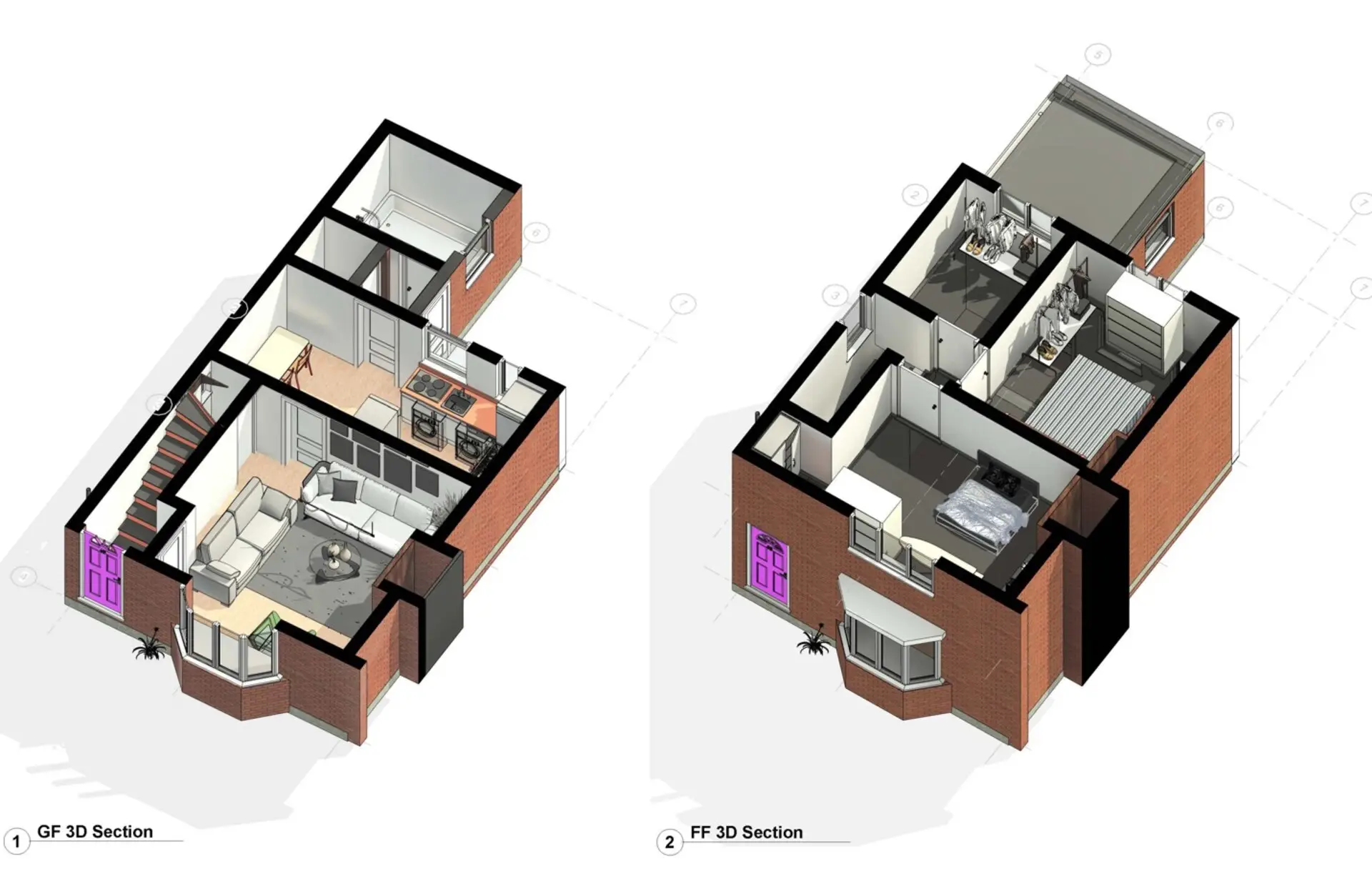
We capture data using drones, 3D scanning cameras and LiDAR scanners, depending on the project. Once processed, it can be brought into Revit, AutoCAD and similar software to take measurements or create as-built drawings.
Capture is fast, with large buildings often scanned in hours, and point clouds typically delivered within 48 hours.
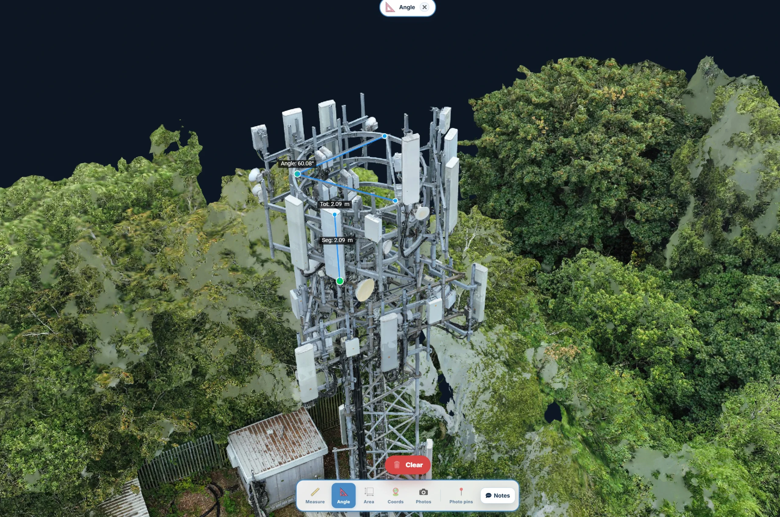
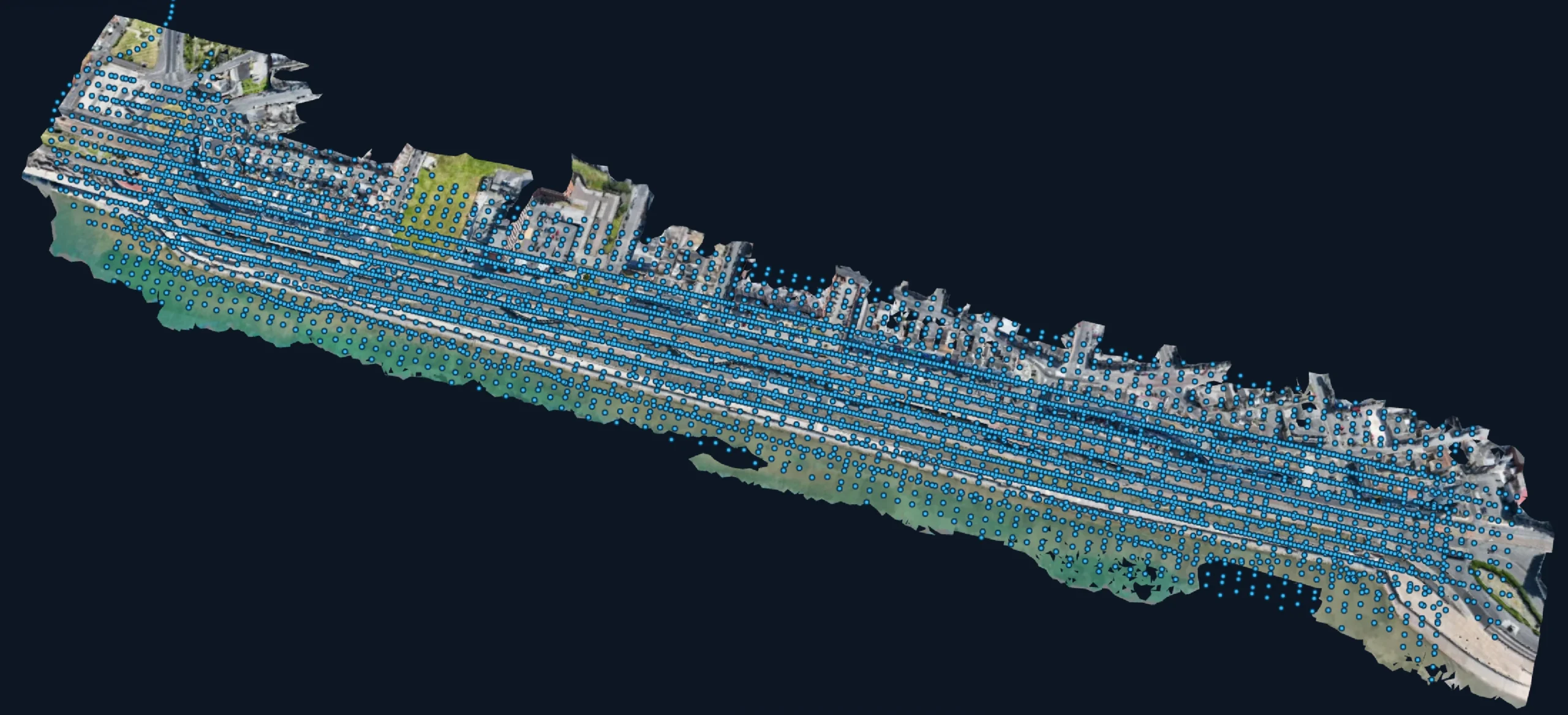
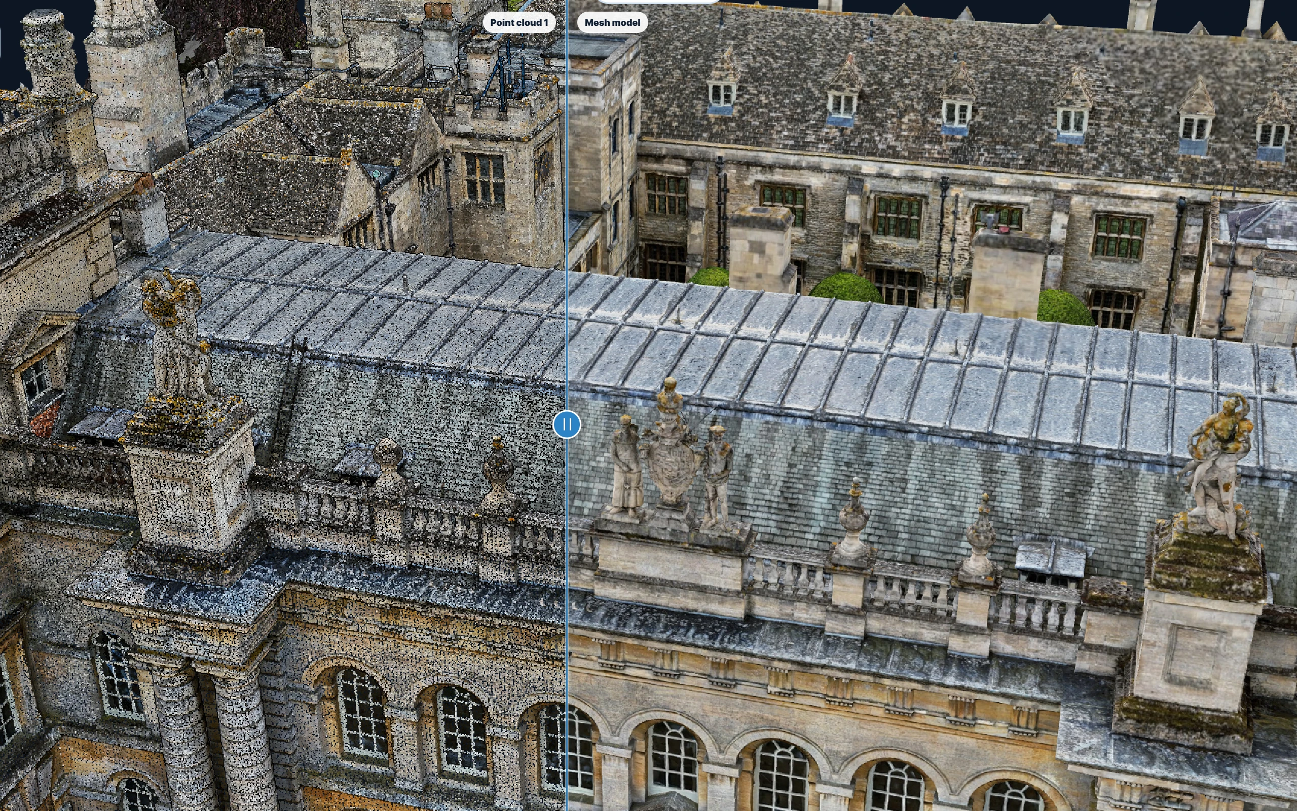
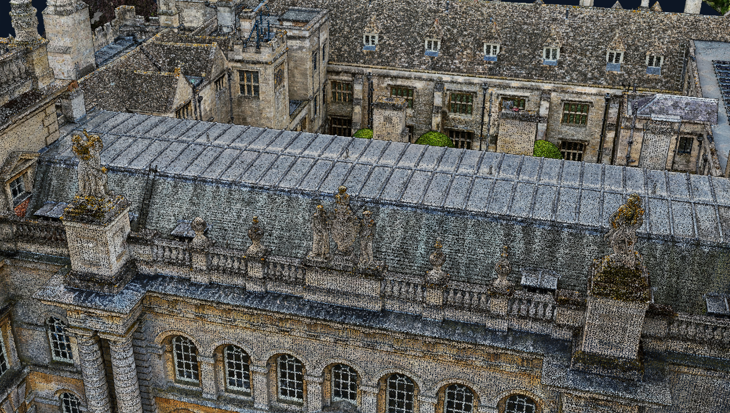
Example Image Quality
Click each image to view example image quality
What Your Point Cloud Survey Can Include
Choose the capture method and formats you need. We can also turn the point cloud into drawings and models.
| Deliverable | What it is | Included |
|---|---|---|
| Registered point cloud | A clean, registered 3D point cloud of the building or site. | Standard |
| Industry formats | E57, LAS/LAZ, RCP/RCS, PTS and more. | Standard |
| Drone capture | Roofs, elevations and high-level areas captured from the air. | Standard |
| Online viewer | View and measure the point cloud in your browser. | Optional |
| LiDAR capture | For vegetation-covered sites and high-precision geometry. | Optional |
| Internal scanning | Laser or 3D scanning of interiors. | Optional |
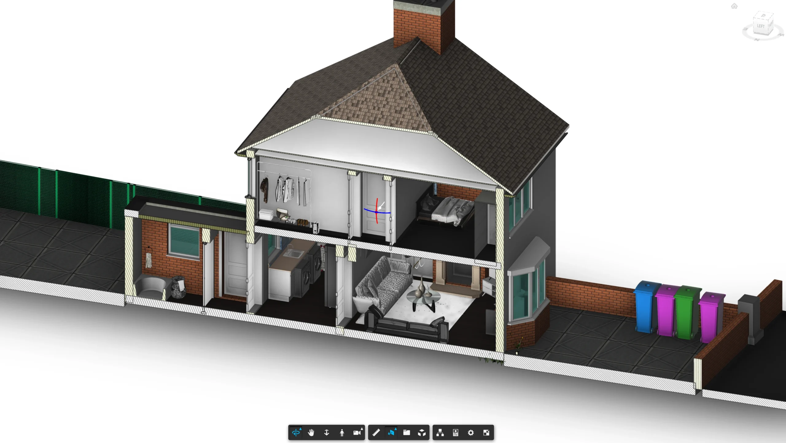
| CAD and Revit | Drawings and models created from the point cloud. | Optional |
Other formats, including Potree, Cesium 3D Tiles, SLPK and DXF, are available on request.
At a Glance
Capture
Drone + LiDAR + scan
Access required
Internal & external
Pilot network
Nationwide
CAD / Revit
Available
Scaffold needed
None
Coverage
Mainland UK
Get a Quote
Send us an address. We will come back the same working day with a price and a scope.
Why Clients Choose a Point Cloud Survey
Point clouds capture everything once, so you never need to go back to site. Clients benefit from:
Knowing the condition of your whole portfolio lets you mitigate risk, prioritise spending and act on real evidence rather than assumptions.
The result?
An accurate 3D record of your building or site, ready for design, measurement and BIM.
LiDAR vs photogrammetry
The right capture for your project
LiDAR measures distance with laser pulses, giving precise geometry and the ability to see ground through vegetation. Photogrammetry builds 3D data from overlapping photos, adding rich colour and texture at a lower cost.
We choose the right method, or a combination of both, based on your site, accuracy needs and budget.
Measured in 3D, ready for your software.
CAA
CAA Operational Authorisation 11363
Fully insured, with £10m public liability and specialist UAV cover
Why drones
Why use point clouds instead of traditional measuring?
Traditional measured surveys capture selected points by hand. A point cloud records everything at once, so you can take any measurement later without going back to site.
- No one at height. Roofs and elevations captured by drone.
- Complete. Every surface recorded in one survey.
- Accurate. LiDAR and scanning for precise geometry.
- Compatible. Formats for every major CAD and BIM package.
- Future-proof. Measure again later without a site visit.
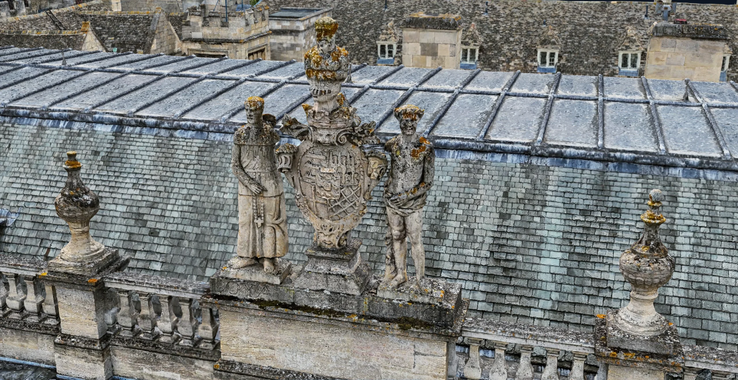
Millions of measured points, ready for CAD, Revit and BIM.
Who we work with
Point clouds for designers, engineers and surveyors
We work with architects, engineers, BIM teams, surveyors and contractors who need accurate 3D data of existing buildings and sites.
Our service is suitable for
- ›Architects
- ›Structural engineers
- ›BIM and design teams
- ›Building surveyors
- ›Contractors
- ›Facilities managers
- ›Heritage and conservation
- ›Industrial and plant sites
- ›Infrastructure
- ›Universities and research
For estates with several buildings, we can capture each one the same way to build a consistent 3D library.
Why choose us
Why choose Drone Site Surveys?
A point cloud is only as good as the capture behind it. We choose the right method for your site, LiDAR, photogrammetry or a combination of both, capturing the outside and roof by drone and the inside by laser or 3D scanning, with control points for accurate registration.
The result is a dense, measured 3D record of every surface, delivered in the format your software needs, including Revit and AutoCAD. Your architects, engineers and BIM team can take new measurements whenever they need them, without going back to site.
Clients choose us for point cloud surveys because we offer:




How it works
Our point cloud survey process
From first enquiry to secure delivery, every survey follows the same six steps, so you always know what happens next and when.
Tell us about the property
Tell us about the building or site, the accuracy you need and your software. We’ll recommend drone, LiDAR or scanning, or a combination.
Planning and quote
We carry out a desktop assessment of the property and the surrounding airspace, check the survey against current UK drone regulations, and prepare your quote. You receive it by email with no obligation, along with the airspace map for your site and an example delivery so you can see exactly what you’ll be getting.
Booking your date
Once you’re happy with the quote we add your job to the schedule and start monitoring the Met Office forecast. In the meantime we prepare the pre-flight paperwork, including our risk assessment and method statement (RAMS), which we can send over for your records. As soon as we have a clear weather window and pilot availability, we confirm your attendance date. You don’t normally need to be on site.
The survey
We capture the outside and roof by drone and the inside by laser or 3D scanning, with control points for accurate registration.
Processing
Scans and imagery are registered into a single, clean point cloud, checked and exported in the formats you need.
Delivery
We email you a link to our secure online portal, where your imagery, reports and any other agreed outputs are ready to view, download and share with your team or contractors. Alongside the deliverables you’ll find a folder containing the pre-flight paperwork, a copy of the drone airspace map for your site and any other relevant documents, so everything from the survey is in one place.
Request a Quote
Request a point cloud survey quote
Whether it’s a single building or a whole site, we can tailor the capture to your project.
Send us the address and a brief description of what you need, and we will come back with clear pricing and deliverable options.
Prefer to Speak to Us?
If you’d rather speak to one of the team, that’s no problem. Simply call the number below and one of our team will be more than happy to help.
Get a Quote
In The Know
Frequently Asked
Questions
Answers to the questions we are asked most often about point cloud surveys. If yours is not covered here, give us a call.
What is a point cloud?
A dense set of 3D points, each with a measured position, that records the exact shape of a building or site.
What file formats can you supply?
E57, LAS, LAZ, PTS, PCD, RCP and RCS as standard, plus DXF, SLPK, Potree, Cesium 3D Tiles and others on request.
How quickly can you deliver?
Capture is fast, and point clouds are typically delivered within 48 hours, depending on the size of the project.
Should I choose LiDAR or photogrammetry?
LiDAR gives precise geometry and can see through vegetation. Photogrammetry adds colour and texture at a lower cost. Ask and we’ll recommend the best option for your project.
Can you turn the point cloud into drawings?
Yes. We can produce CAD drawings and Revit models from the point cloud or deliver you the raw files.
Can I view the point cloud without special software?
Yes. We can provide an online viewer so you can view and measure it in a browser.