


Home / Areas We Cover / London
- South & East · Greater London
Drone surveys in London: roof and façade surveys across the capital
Drone roof surveys, façade inspections, thermal surveys and measured surveys across London, from the City and Canary Wharf to the outer boroughs.
High-rise blocks, mansion blocks, terraces, warehouses and listed buildings. We handle London’s airspace permissions, survey roofs and façades without scaffolding and deliver everything to your online portal.
- CAA Authorised Operator
- Constructionline Gold
- SafeContractor
- SSIP
- £10m Public & Employers Liability
- £1m Professional Indemnity
- ARPAS-UK Member
- BINDT
- NEBOSH
Drone surveys across London
Central London, the inner boroughs and the outer boroughs.
London has every type of building we survey: Georgian and Victorian terraces, mansion blocks, post-war estates, high-rise residential towers, warehouses and some of the country’s best-known listed buildings. Scaffolding in London is expensive, often needs a council licence and can block pavements for weeks.
A drone captures roofs and façades in one visit. High-rise and Building Safety Act work, insurance claims, planned maintenance and pre-purchase surveys are all common. We work for housing associations, councils, managing agents, freeholders, contractors and surveyors.
- City of LondonOffices and listed buildings
- Canary Wharf & DocklandsTowers and converted warehouses
- Westminster & the West EndMansion blocks and period buildings
- Camden & IslingtonTerraces and housing estates
- Hackney & Tower HamletsWarehouses, estates and new builds
- Southwark & LambethHousing estates and terraces
- Kensington & ChelseaStucco terraces and mansion blocks
- Wandsworth & BatterseaTerraces and riverside flats
- Greenwich & LewishamPeriod homes and estates
- Outer boroughsCroydon, Ealing, Barnet and beyond
High-rise or Building Safety Act work? We capture roof-level and façade imagery on tall buildings in one visit, without cradles or rope access. See façade surveys.
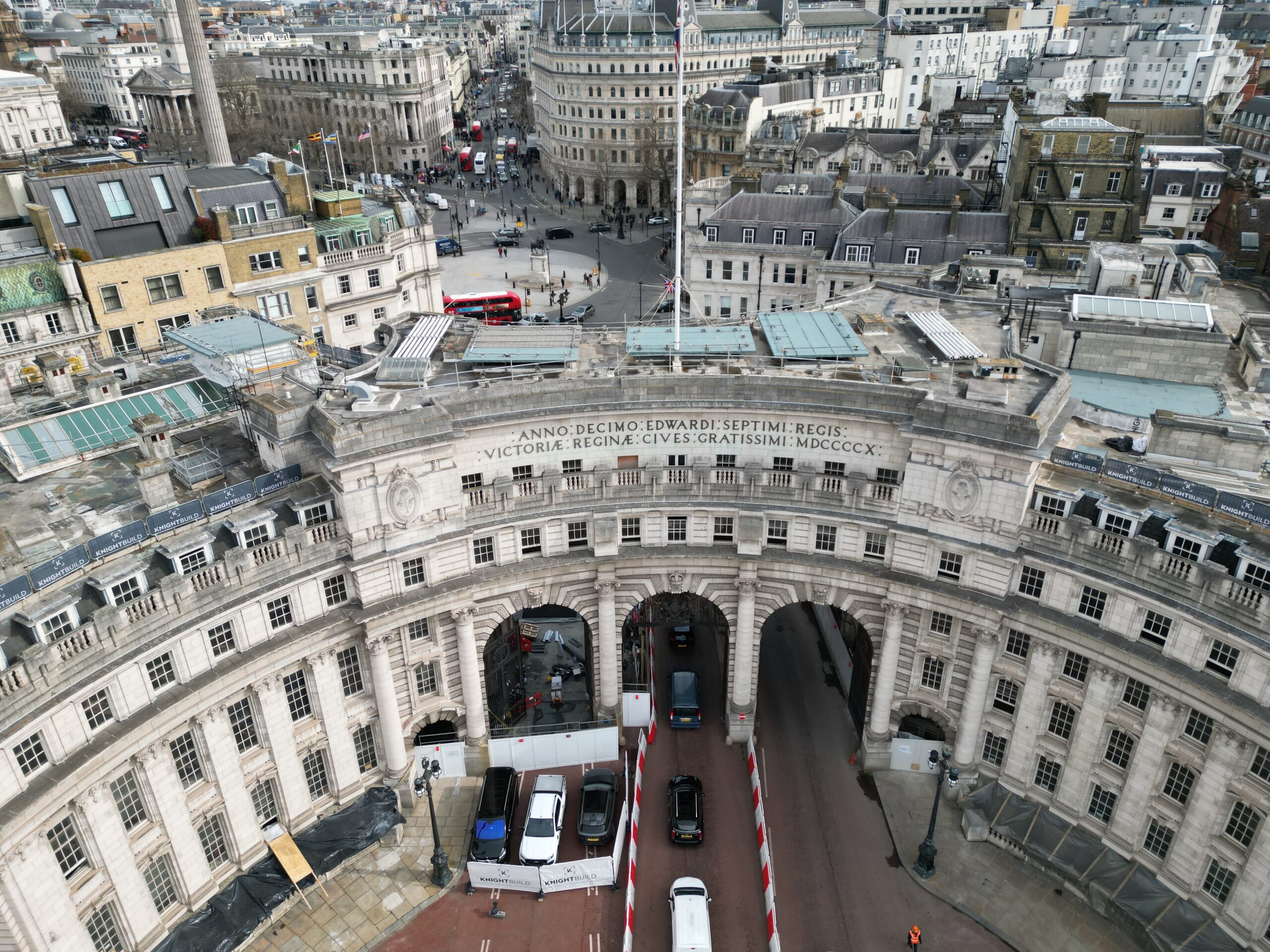
What we survey in London
Every service we offer is available in London. These are the ones London clients book most.
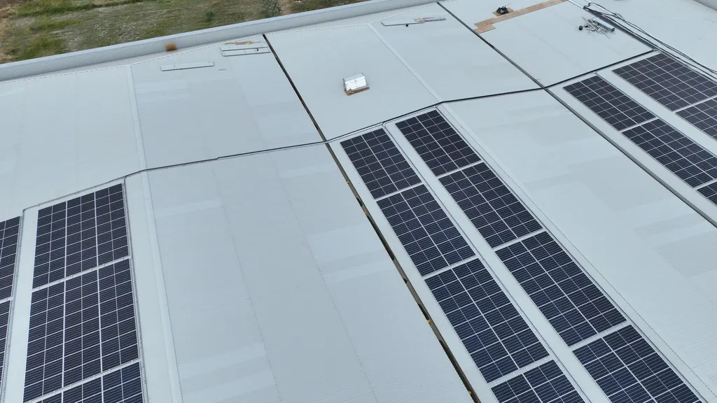
Roof surveys
Close-up imagery of every slope, valley, flashing and gutter on pitched and flat roofs, with an optional written condition report.
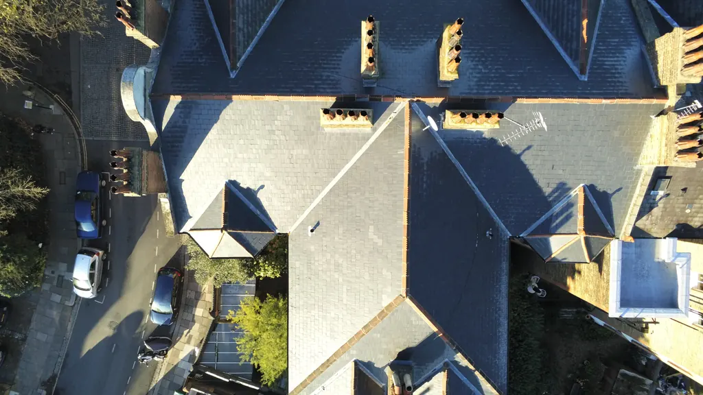
Drone inspections
Close inspections of roofs, chimneys, towers and structures, focused on the areas that matter to you.
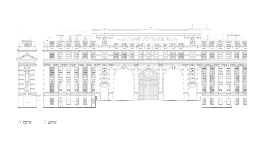
Measured surveys
Point clouds, elevations, CAD drawings and Revit models from drone photogrammetry and LiDAR.
School inspections
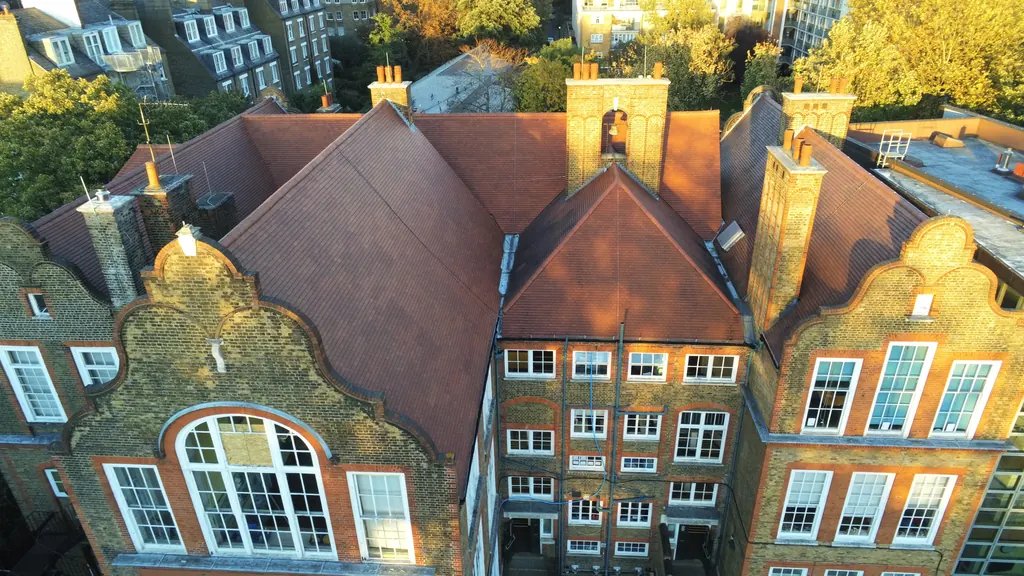
Roof and building condition surveys for schools and colleges, with no scaffolding and visits planned around the school day.
Drone surveys and inspections in London
From a single terrace roof in Wandsworth to a portfolio of blocks across several boroughs, these are the drone surveys and inspections London clients book most, and what you get from each.
Drone roof inspections and chimney surveys in London
A drone roof inspection is the quickest way to see the condition of a London roof without scaffolding, cherry pickers or a MEWP blocking the pavement. We inspect domestic and commercial roofs, pitched and flat, along with the chimneys, parapets and gutters that go with them.
Clients book us after storm damage, before planned maintenance, ahead of a purchase or before installing solar panels. Our pilots can cover the whole roof or focus on the areas that matter most to you, and we can add a thermal survey to show heat loss and trapped moisture in flat roofs.
- Images in your secure portal within 48 hours of the flight
- Optional building surveyor report within 5 working days
- Close-up imagery of slopes, valleys, flashings, chimneys and gutters
- One link to share with your team, contractors or insurer
Drone mapping in London
For larger London sites we produce accurate, measurable maps from drone photogrammetry, tied in with GNSS ground control. You get a clear top-down view of the whole site without needing to visit it yourself.
Maps can include contours and spot heights, site boundaries and a digital surface model, and can be overlaid with your design drawings. Combine mapping with progress monitoring and time-lapse to follow a London build from groundworks to handover.
- Orthomosaic maps you can measure from
- Contours, spot heights and surface models
- CAD-ready outputs for your design team
Measured surveys for London projects
We deliver measured surveys for architects, developers, surveyors and contractors across London, whether it’s a redevelopment in Chelsea, a commercial portfolio in Canary Wharf or an infrastructure project in the outer boroughs.
Drone photogrammetry captures the roofs and façades that are hard to reach from the ground, and scanning records the interior. Everything is registered into one point cloud, so floor plans, elevations, sections and models all come from the same accurate record.
- Processed point clouds, usually within 5 working days
- AutoCAD drawings and Revit models from LOD 100 to LOD 400
- Revit models generally within 10–14 days for a standard building at LOD 200–300
- 3D models for planning, visualisation and stakeholder engagement
- Examples of previous measured surveys on request
Construction, condition and thermal surveys
Our construction specialist pilots work on London sites of every size. Time-lapse and progress monitoring give you a regular record of the build and strong marketing material, and schedule of condition surveys capture a dated photographic record before work starts next door.
We also measure stockpile volumes, carry out thermal building inspections to show heat loss, and survey roofs, gutters and façades on occupied buildings without disrupting residents or tenants.
- Construction progress monitoring and time-lapse
- Schedule of condition surveys with dated photography
- Stockpile and volumetric measurements
- Thermal surveys by qualified thermographers
Flying in London: the airspace we plan around
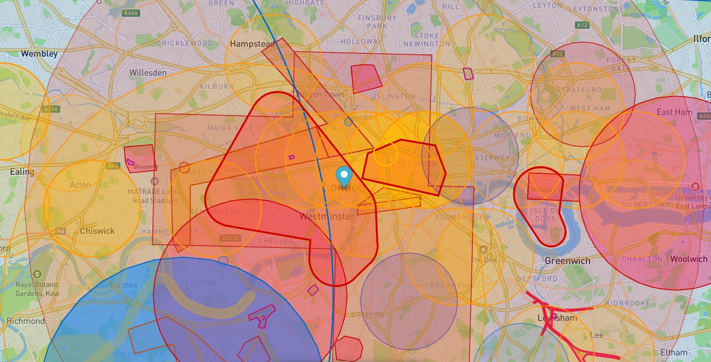
London has the most complex airspace in the country. These are the checks we make for every London address before we quote.
Heathrow and London City
Much of London sits inside the London Control Zone, with Flight Restriction Zones around Heathrow, London City and other airports. We arrange permission from air traffic control before the survey date.
Central London restricted area
Central London, including Westminster and the Royal Parks, has a restricted area with tight rules on drone flights. We plan these flights well in advance.
London helicopter routes
Helicopter routes run across London, including one along the Thames, and the London Heliport sits at Battersea. Sites near them need extra checks before we fly.
View the NATS London helicopter routes chart →
Prisons
Prisons including Belmarsh, Wandsworth, Brixton and Pentonville have restricted airspace around them. Nearby sites need extra planning.
Rail and the Underground
Rail lines, stations and above-ground Underground lines run across the city. Network Rail has its own rules for drones near its property, on top of CAA rules.
Restricted doesn’t mean impossible
Restricted zones need more planning and the right permissions. They don’t stop a survey going ahead. Our pilots and office team work together to get approval for even the trickiest London sites.
- Airspace checked for every address before we quote
- Permissions requested on your behalf
- Risk assessment and method statement (RAMS) for every job
- Weather planned in, including thermal survey conditions
From address to results in four steps
Tell us where the site is and what you need, using the quote form or by phone.
Free desk-based check of airspace, access and the best capture method. Fixed quote usually the same working day.
Air traffic control, landowner and site permissions arranged, plus RAMS for your site team.
Survey carried out on the agreed date. Images in your secure portal within 48 hours, reports to follow.
Mapping and surveyor support
As well as imagery and reports, we produce maps, 3D models, point clouds and internal and external scans, so surveyors can measure and report on London assets with fewer site visits.
Other areas near London
We also have local pages for these nearby towns and cities. Distances are approximate, by road from London.
Can you fly a drone in central London?
Yes, with the right permissions. Central London has some of the tightest airspace rules in the country, so we apply for permissions well before the survey date and tell you the lead time when we quote.
Can you survey high-rise blocks in London?
Yes we have captured many tower blocks in our capital city for schedule of condition works. We capture roof-level and façade imagery on tall buildings, usually in one visit, without cradles, rope access or scaffolding. It’s often used as condition evidence for Building Safety Act work.
Do you cover all the London boroughs?
Yes. We survey across all 32 boroughs and the City of London, and into the towns around the M25. Send us the address and we’ll confirm.
How quickly can you get to a site in London?
We have pilots that live across several London boroughs, so we’re rarely far from your site. In London, timing mostly depends on airspace: much of the city sits inside flight restriction zones around Heathrow, London City and central London, and the London helicopter routes, including the one along the Thames, which can add further checks. We arrange those permissions for you and include all in your quote. The weather plays a part too. We’ll confirm your survey date when we send your quote.
How much does a drone roof survey in London cost?
Our drone roof inspections start from £250 + VAT for domestic properties and £350 + VAT for commercial properties, the same as anywhere else we cover. Larger sites and portfolios are quoted individually. See our drone survey prices.
Do I need to be on site for the survey?
Not usually. For most surveys we only need permission to access the area we fly from.
Get your fixed-fee quote
Send us the London address or postcode. We’ll do the rest.
Tell us where the property is and what you need. We’ll carry out a free desk-based assessment covering airspace, access and site constraints, then send a fixed-fee quote, usually the same working day.
Send your postcode and requirements using the form
We assess your site remotely: airspace checks, access and the right capture method
You receive a fixed quote with no hidden extras
We book in, fly, capture and deliver to your secure online portal
Constructionline Gold · CAA Authorised · SafeContractor · £10m Public & Employers Liability · Cyber Essentials · NEBOSH · BINDT. Trusted by chartered surveyors, housing associations, retrofit specialists, private clients, NHS trusts and UK local authorities.
Get a Quote
The quote form is taking a while to load. Open the simple form, call 0345 017 5592 or email info@dronesitesurveys.co.uk.